×
Home About UsCourse ProjectsService & SalesGallery Contact Us
STAR SURVEY INSTITUTE

Real projects.
Measured with precision.

Explore field surveying, mapping, marking, DGPS, topography, FMB and training projects completed across different locations and applications.

Field Survey Projects DGPS & Mapping Precision Marking
Project Portfolio

Our Projects

Selected project galleries from the supplied Star Survey Institute page, presented in a cleaner responsive visual layout.

01
FIELD PROJECT

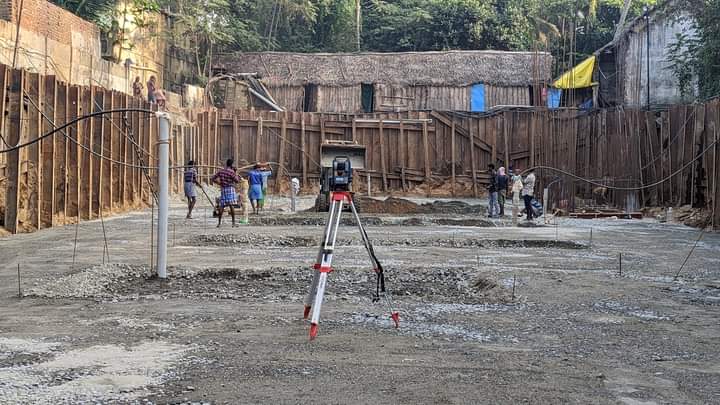
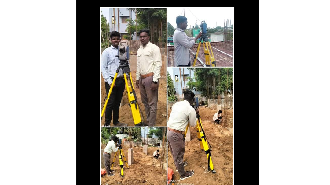
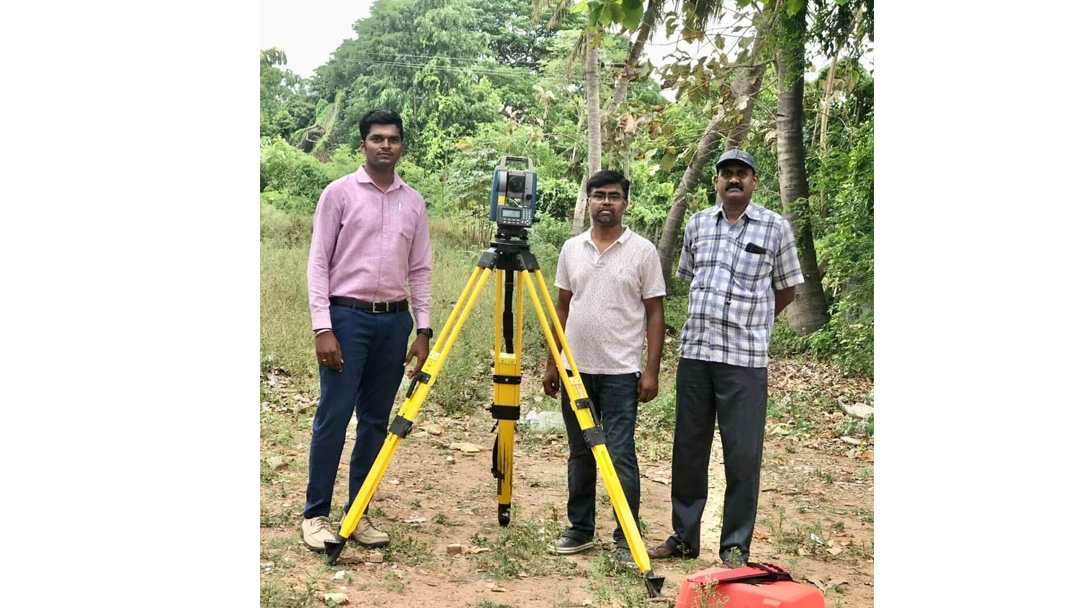
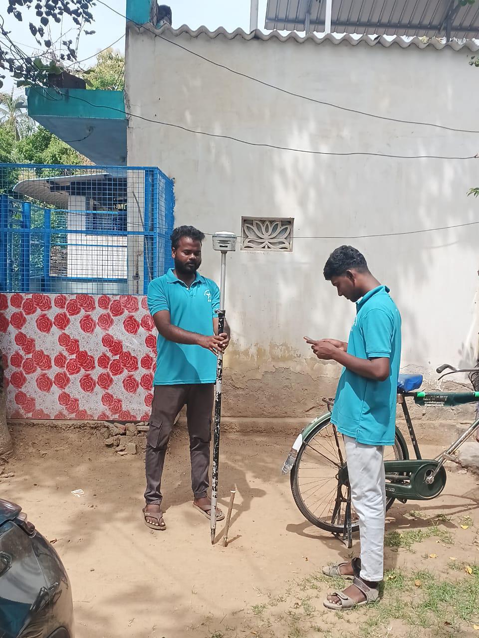
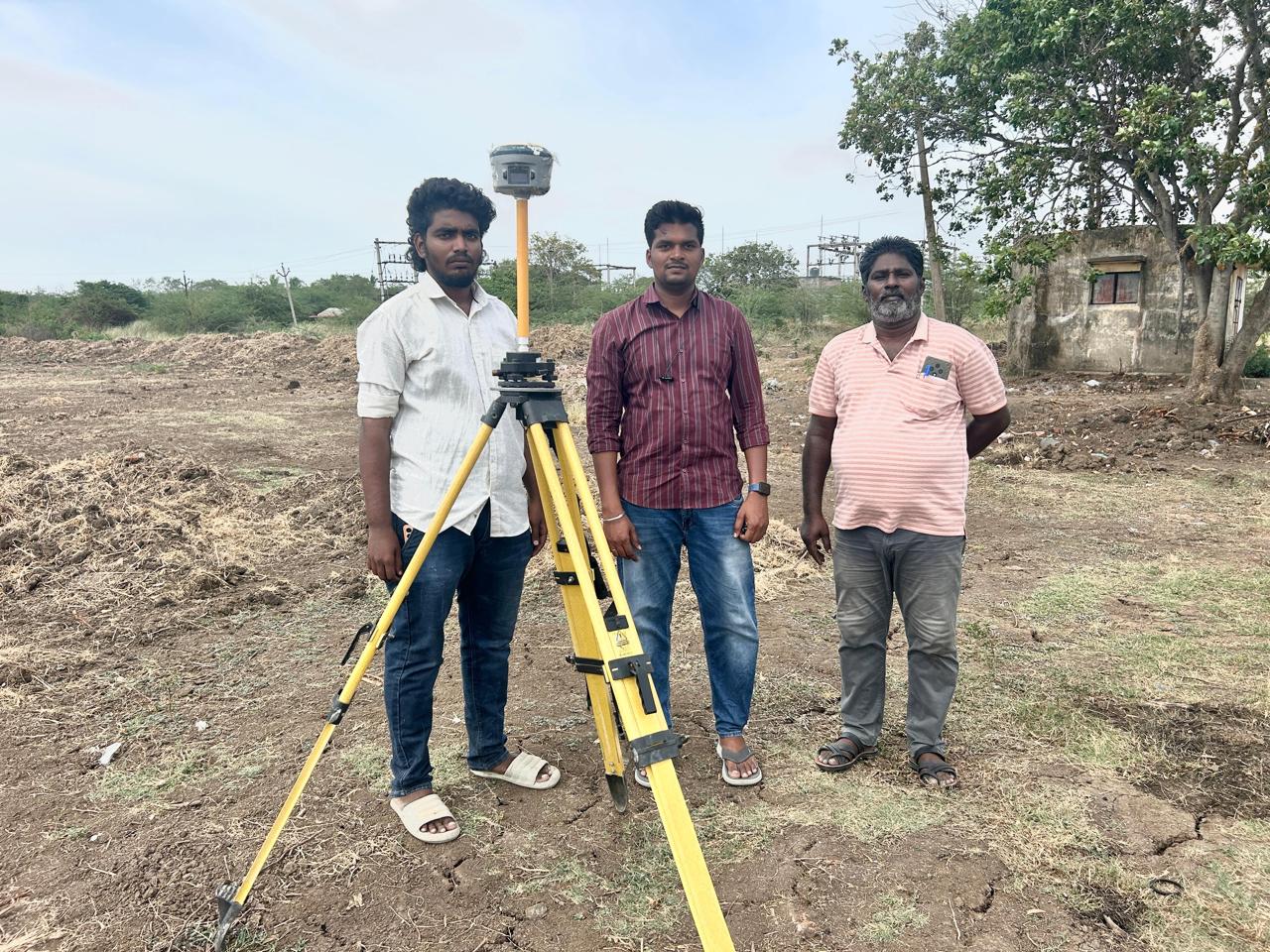
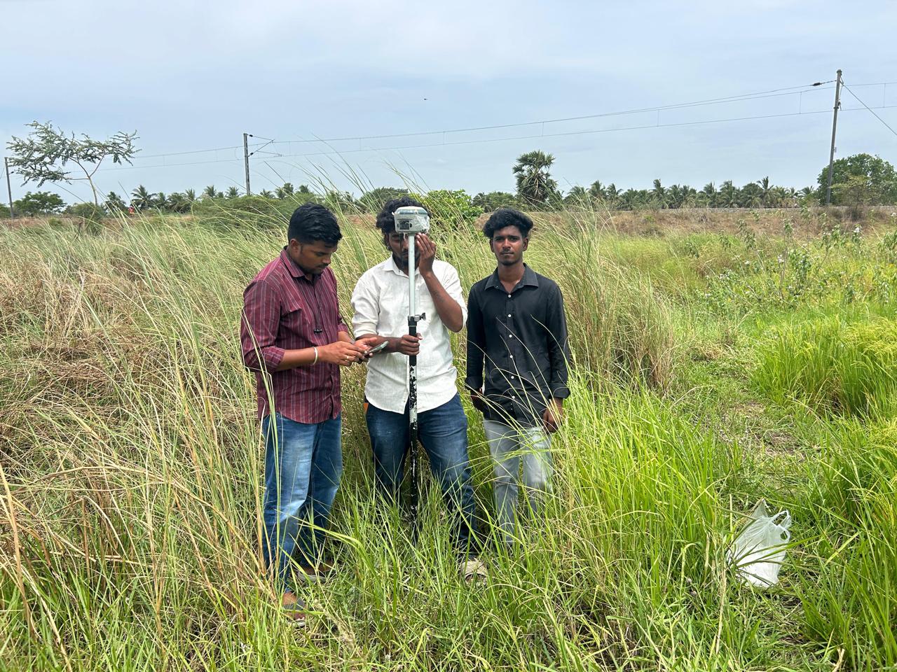
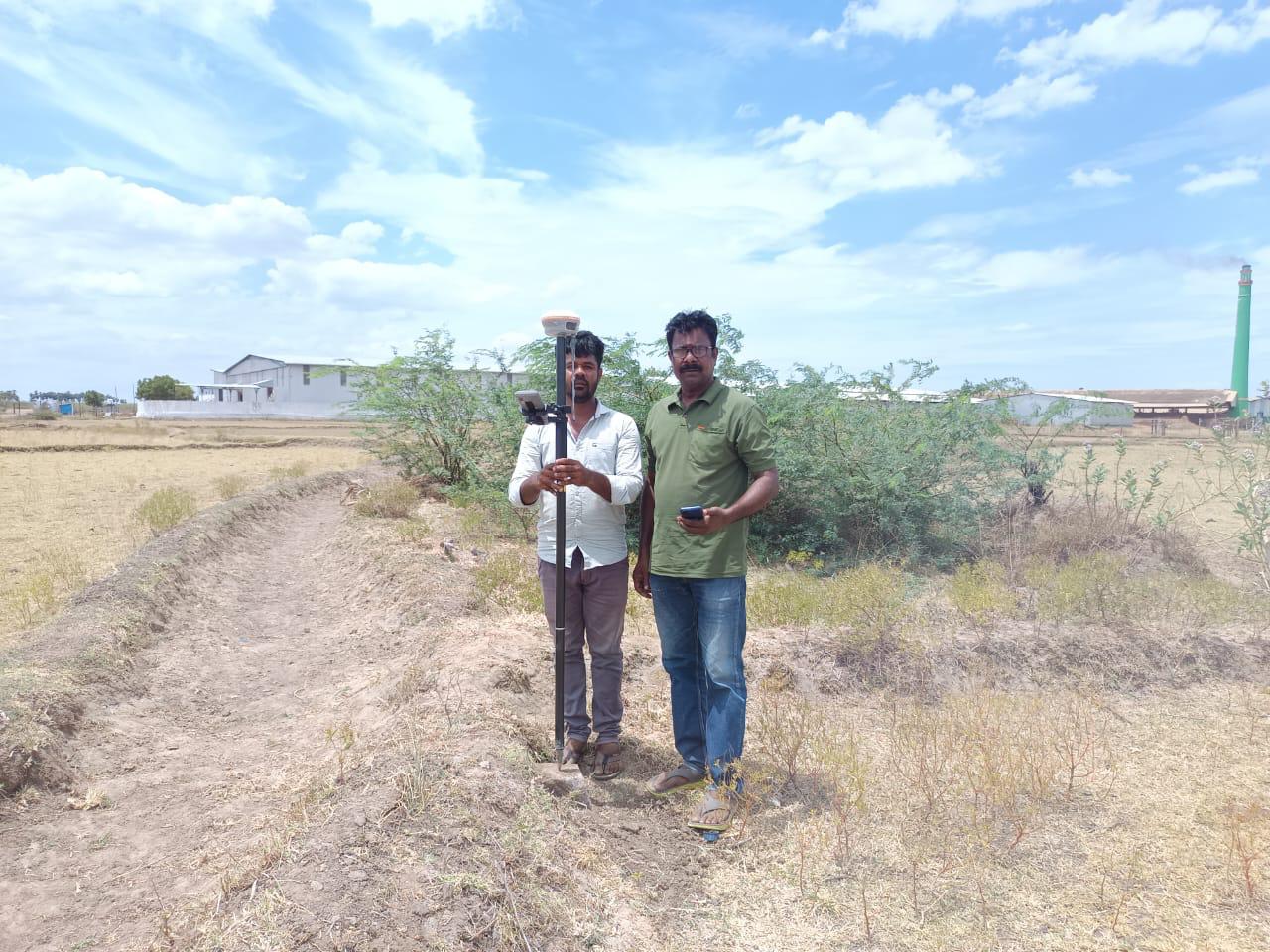
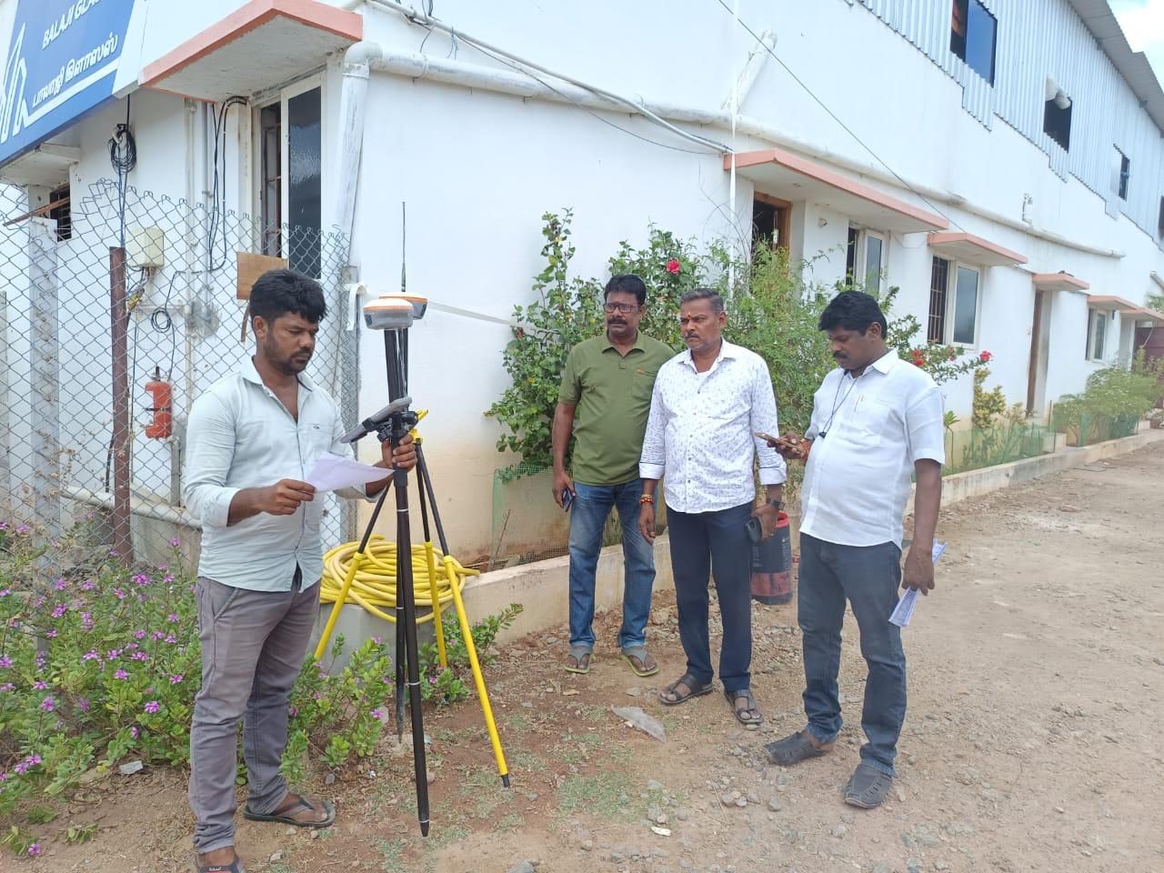
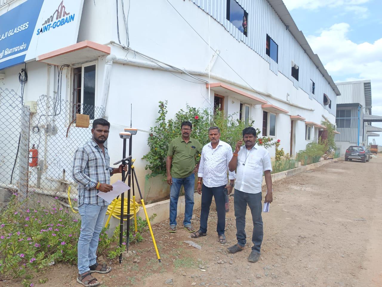
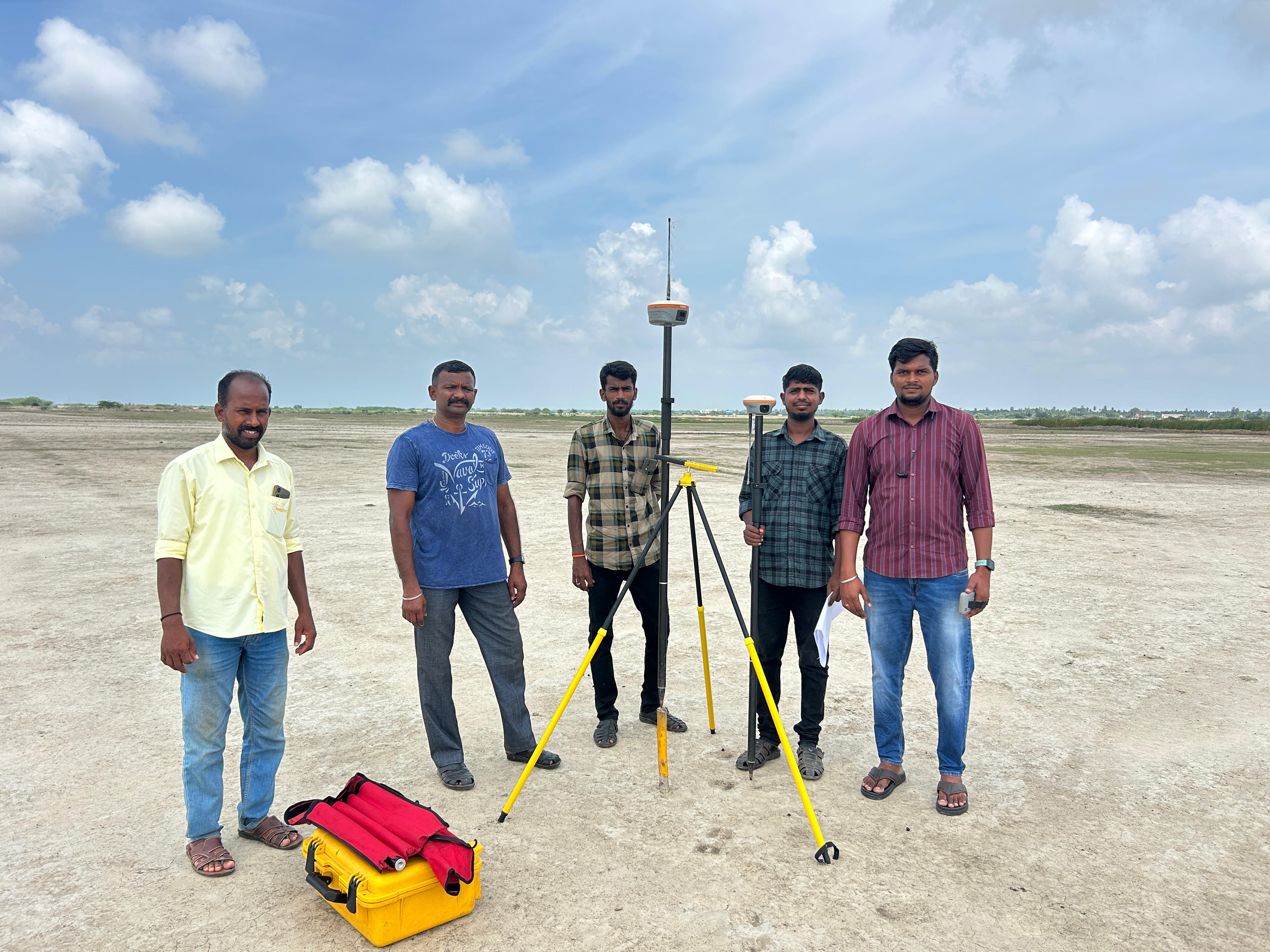
PCC Line and Top Level Marking work going at site mayiladuthurai
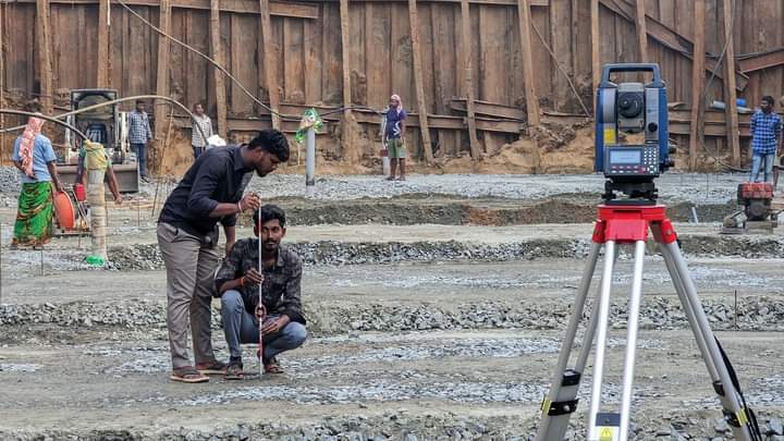
PCC Line and Top Level Marking work going at site mayiladuthuraiPCC Line and Top Level Marking work going at site mayiladuthuraiPCC Line and Top Level Marking work going at site mayiladuthurai
02
FIELD PROJECT

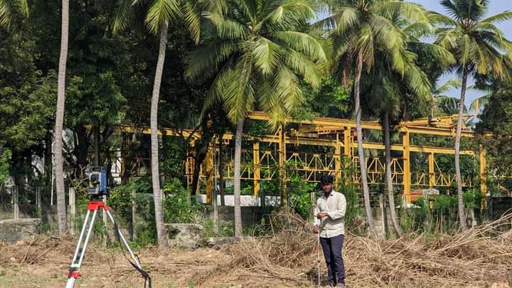
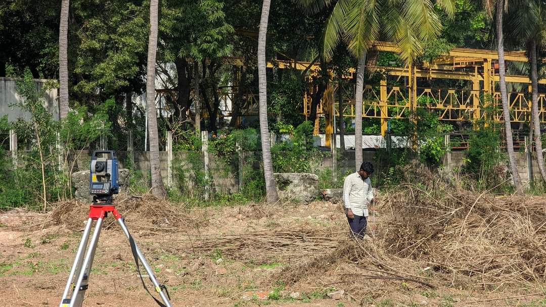
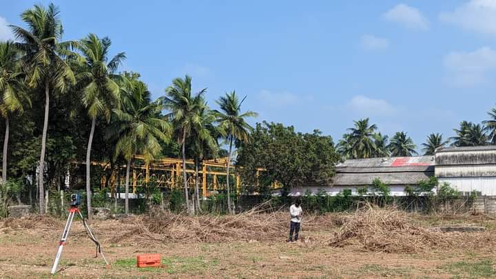
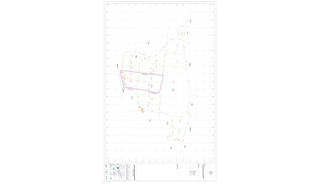
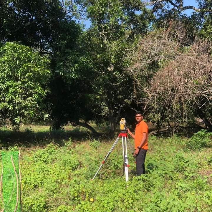
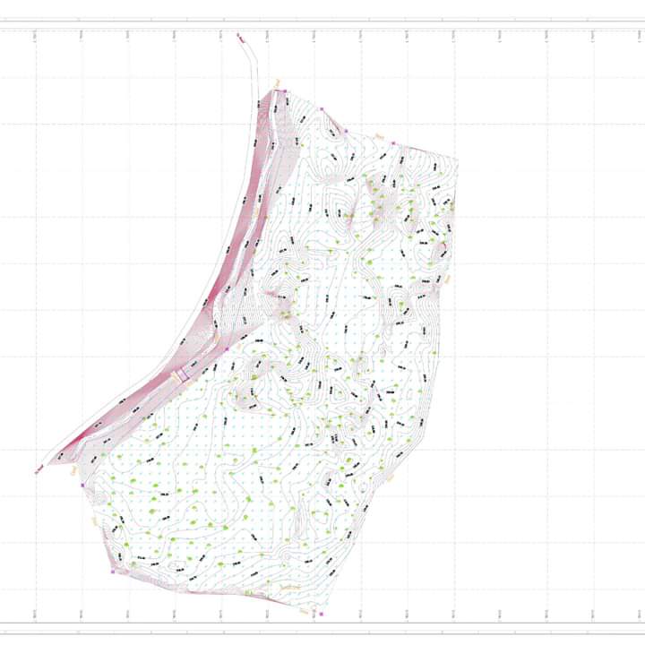
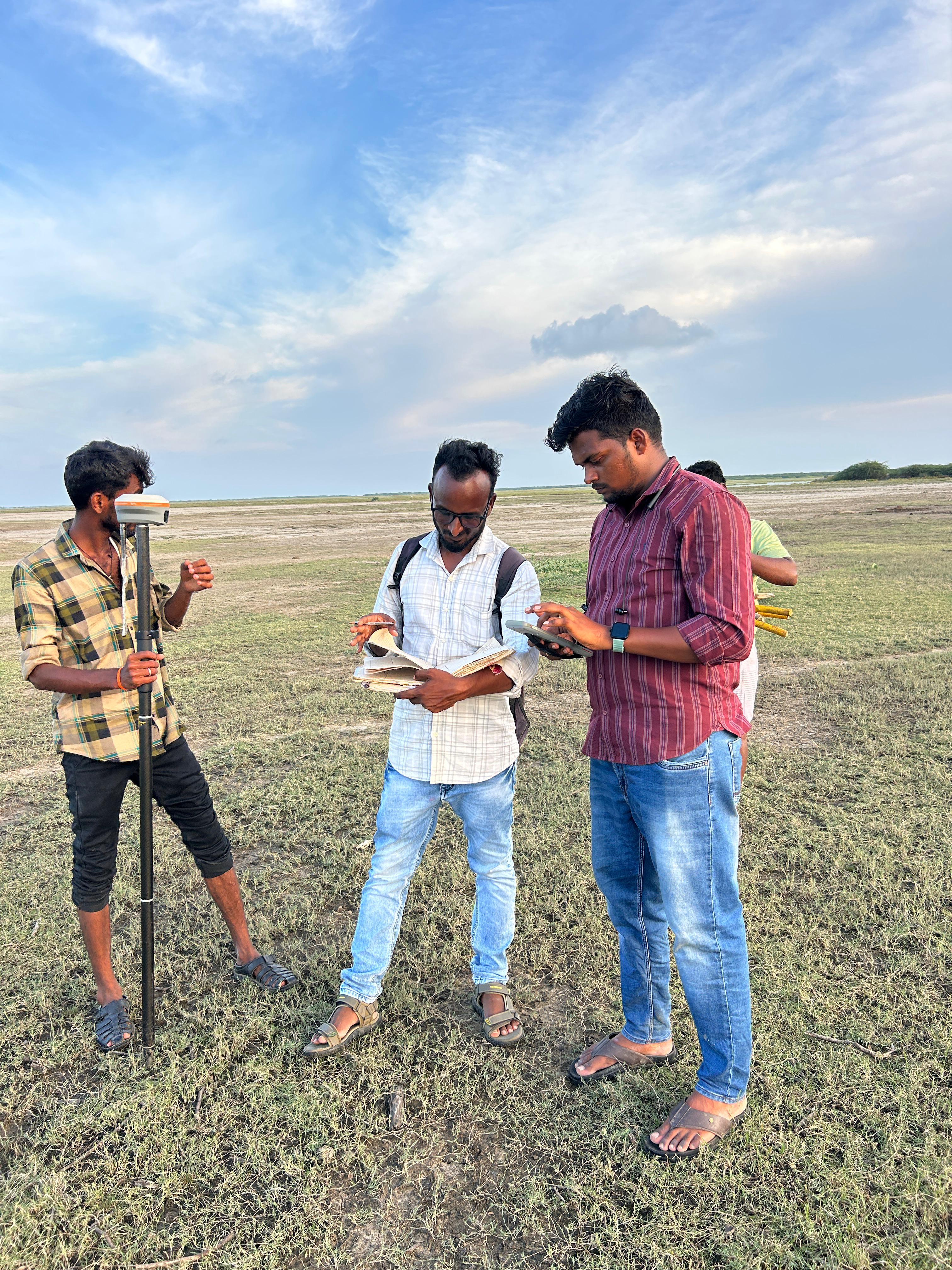
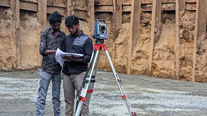
Topography Survery Marking Work Going at Site Kumbakonam

Topography Survery Marking Work Going at Site KumbakonamTopography Survery Marking Work Going at Site KumbakonamTopography Survery Marking Work Going at Site Kumbakonam
03
FIELD PROJECT

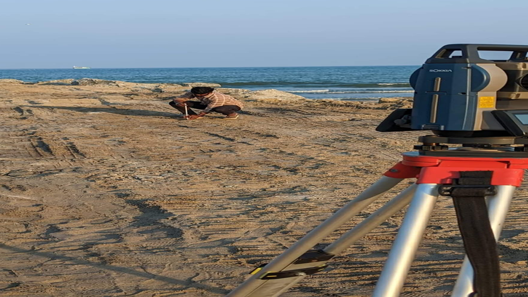
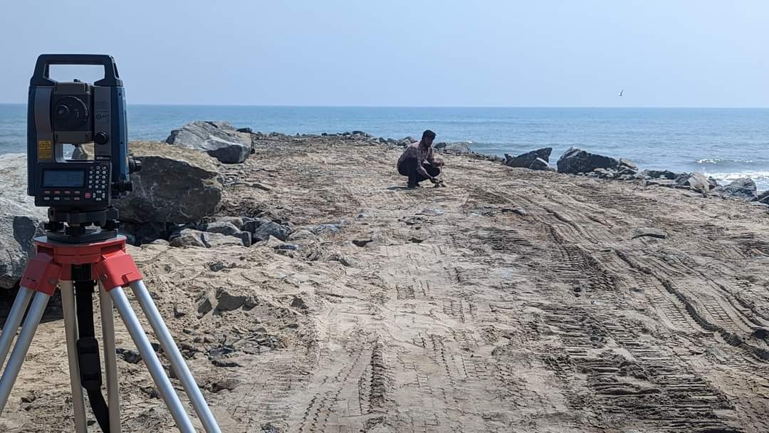
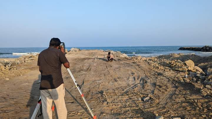
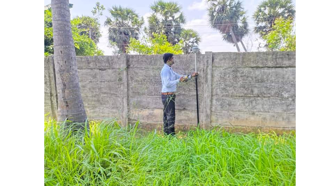
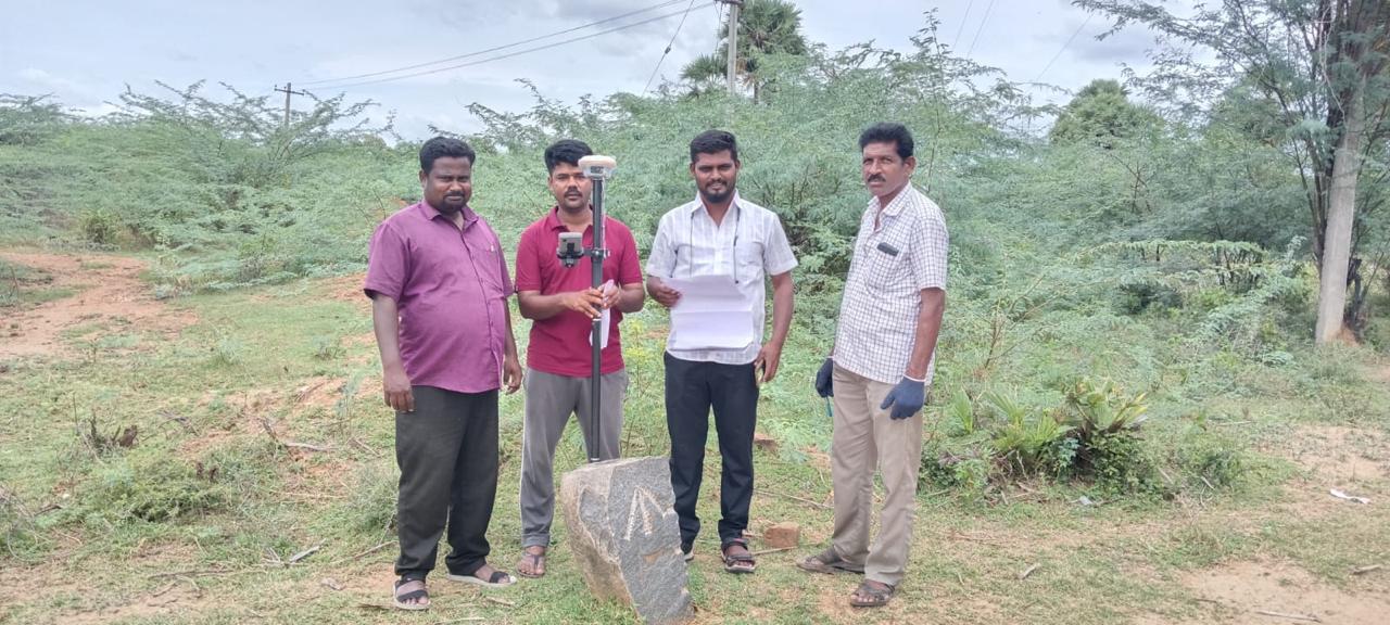
RMS Wall Boulders Center Line Marking Work Going at site Puthukuppam

RMS Wall Boulders Center Line Marking Work Going at site PuthukuppamRMS Wall Boulders Center Line Marking Work Going at site PuthukuppamRMS Wall Boulders Center Line Marking Work Going at site Puthukuppam
04
FIELD PROJECT

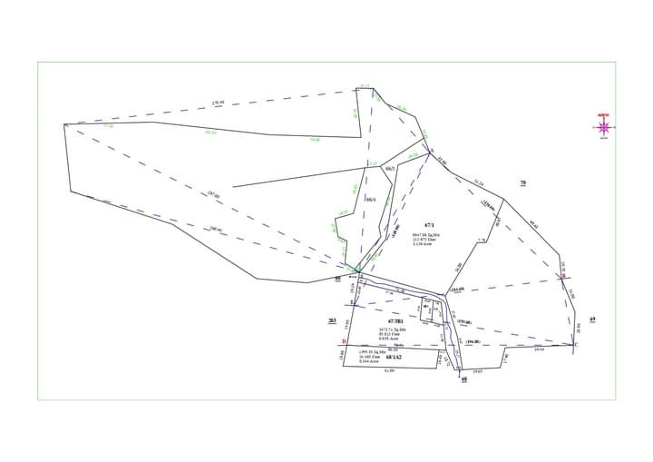
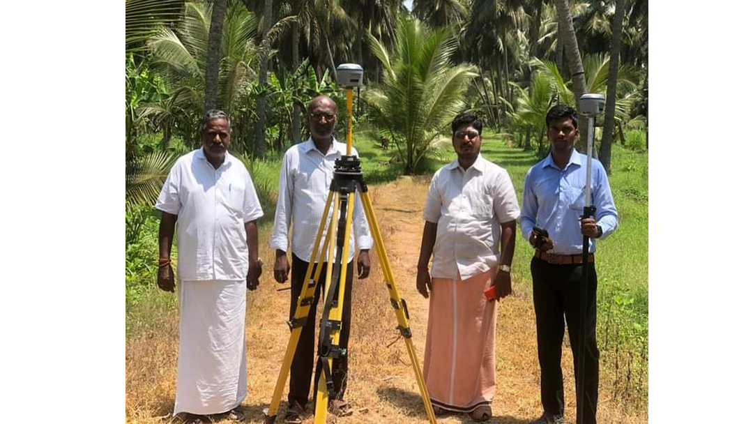
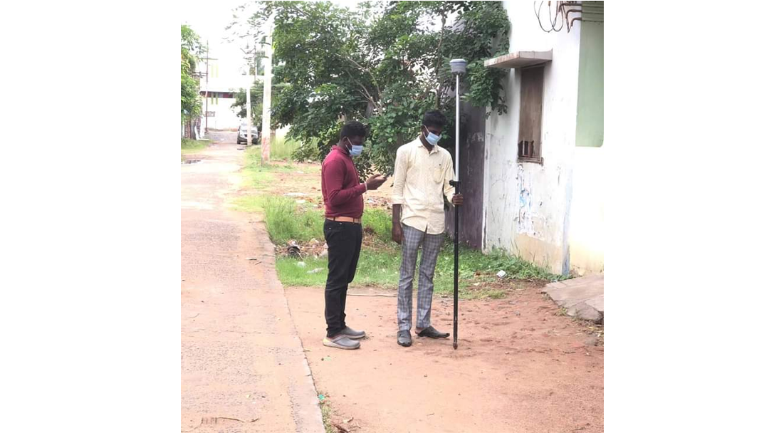
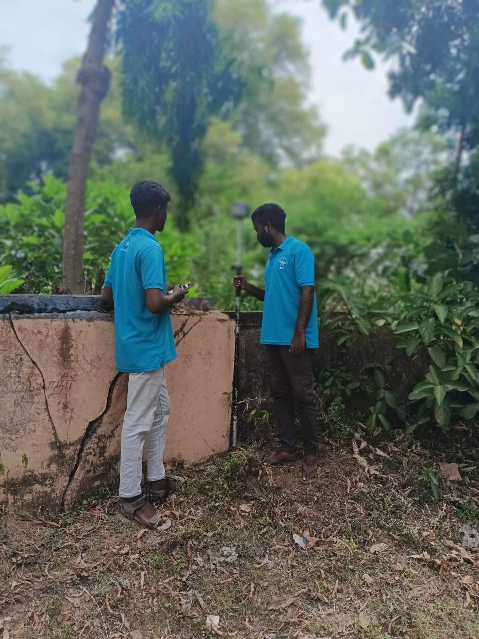
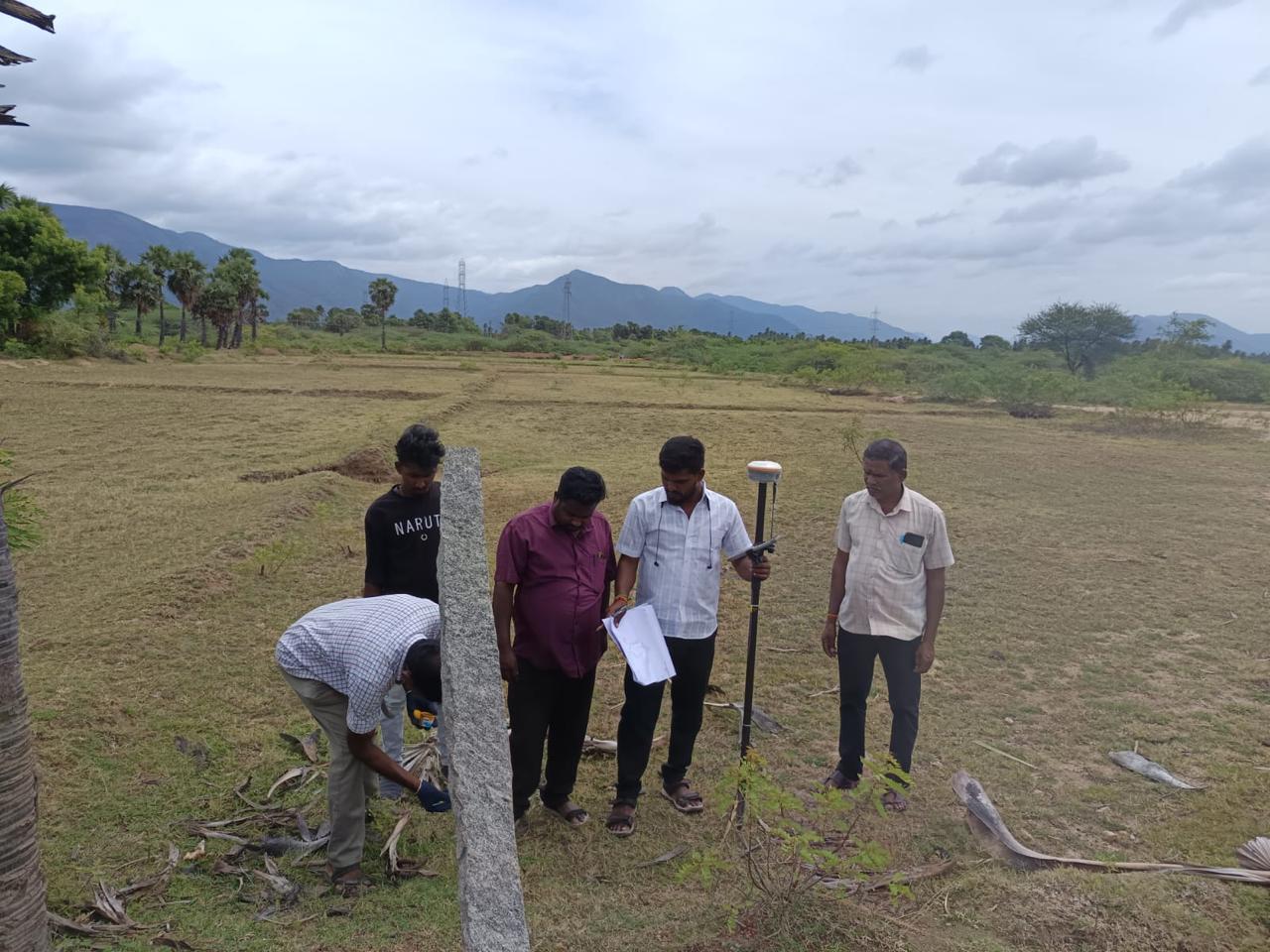
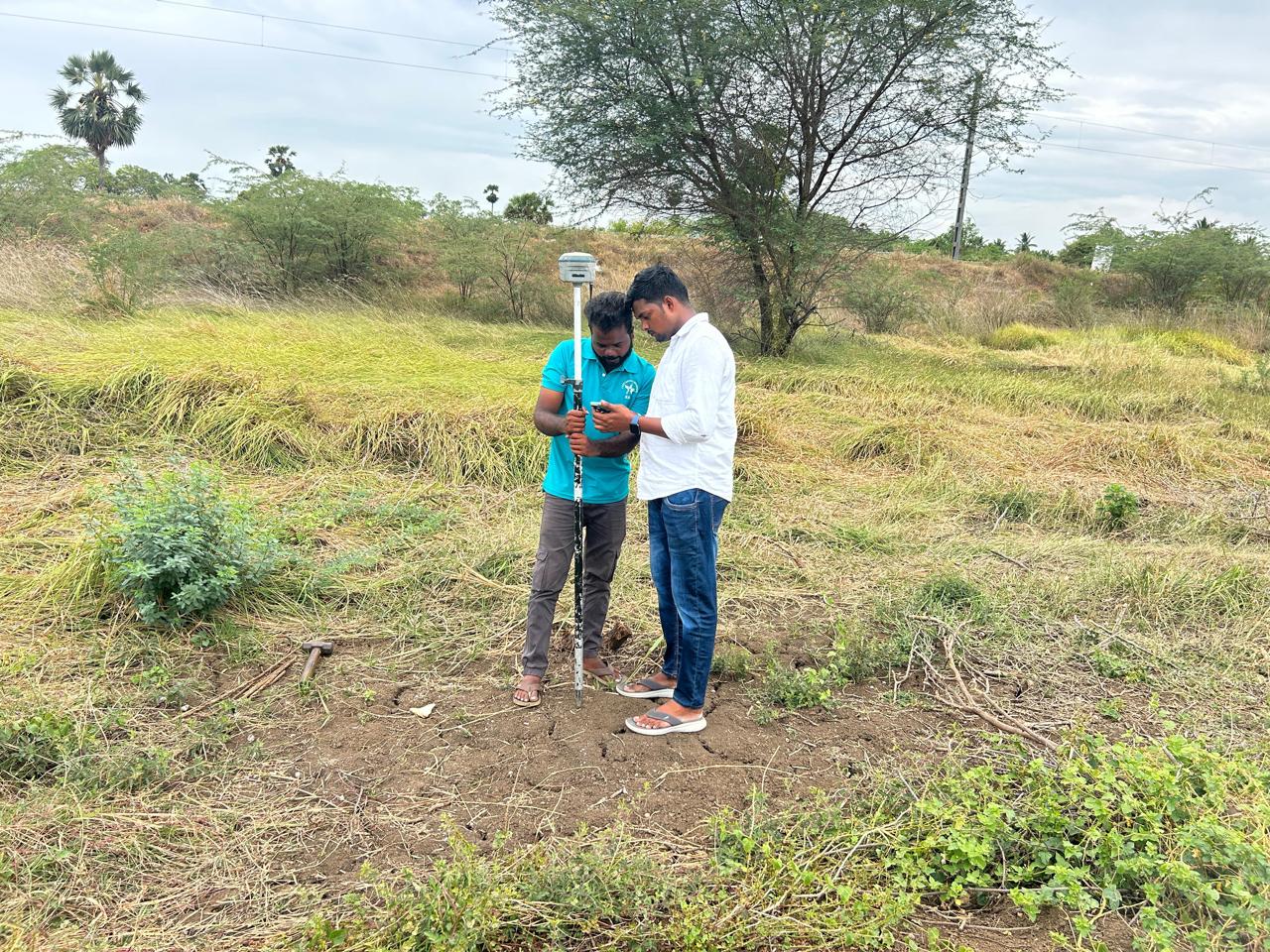
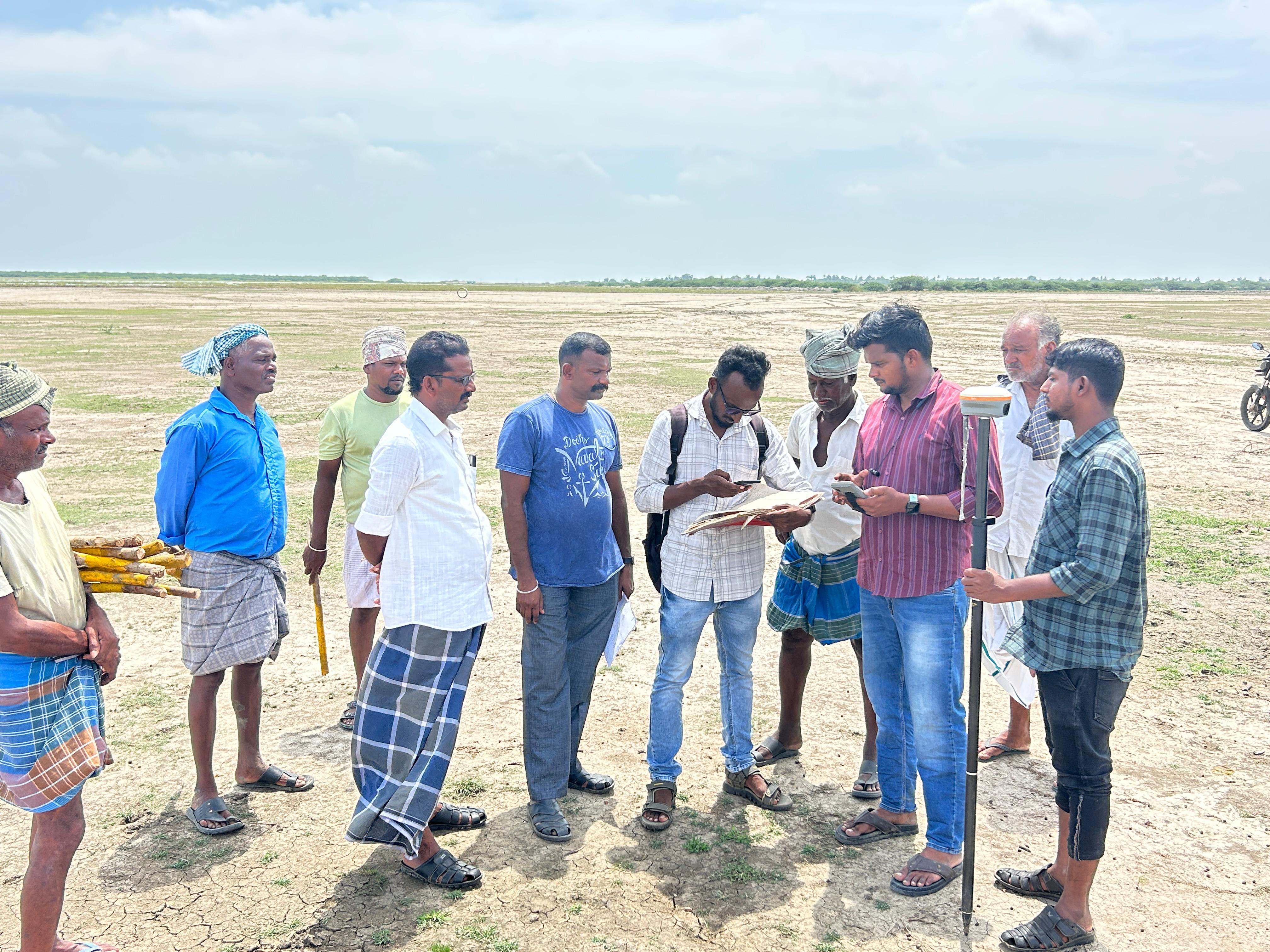
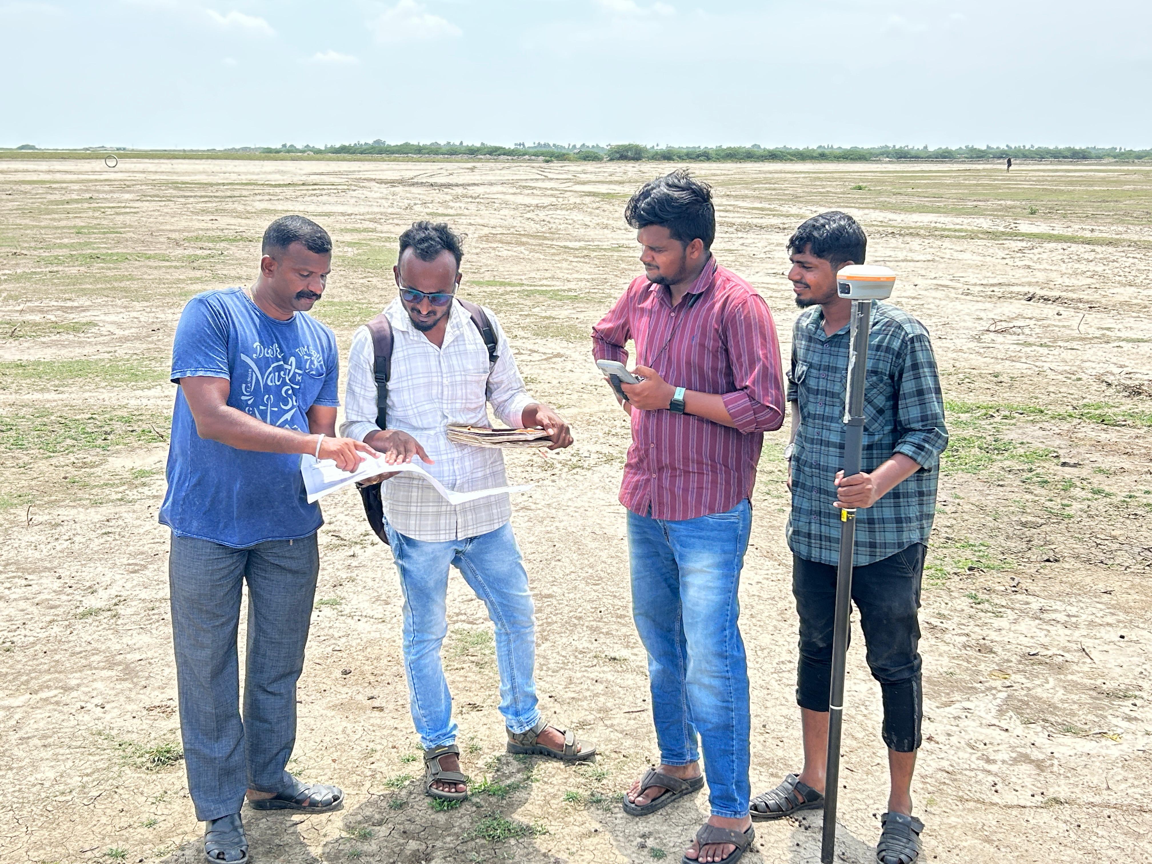
FMB Boundary Fixing Work Going at Site Thiruthuraipoondi

FMB Boundary Fixing Work Going at Site ThiruthuraipoondiFMB Boundary Fixing Work Going at Site ThiruthuraipoondiFMB Boundary Fixing Work Going at Site Thiruthuraipoondi
05
FIELD PROJECT

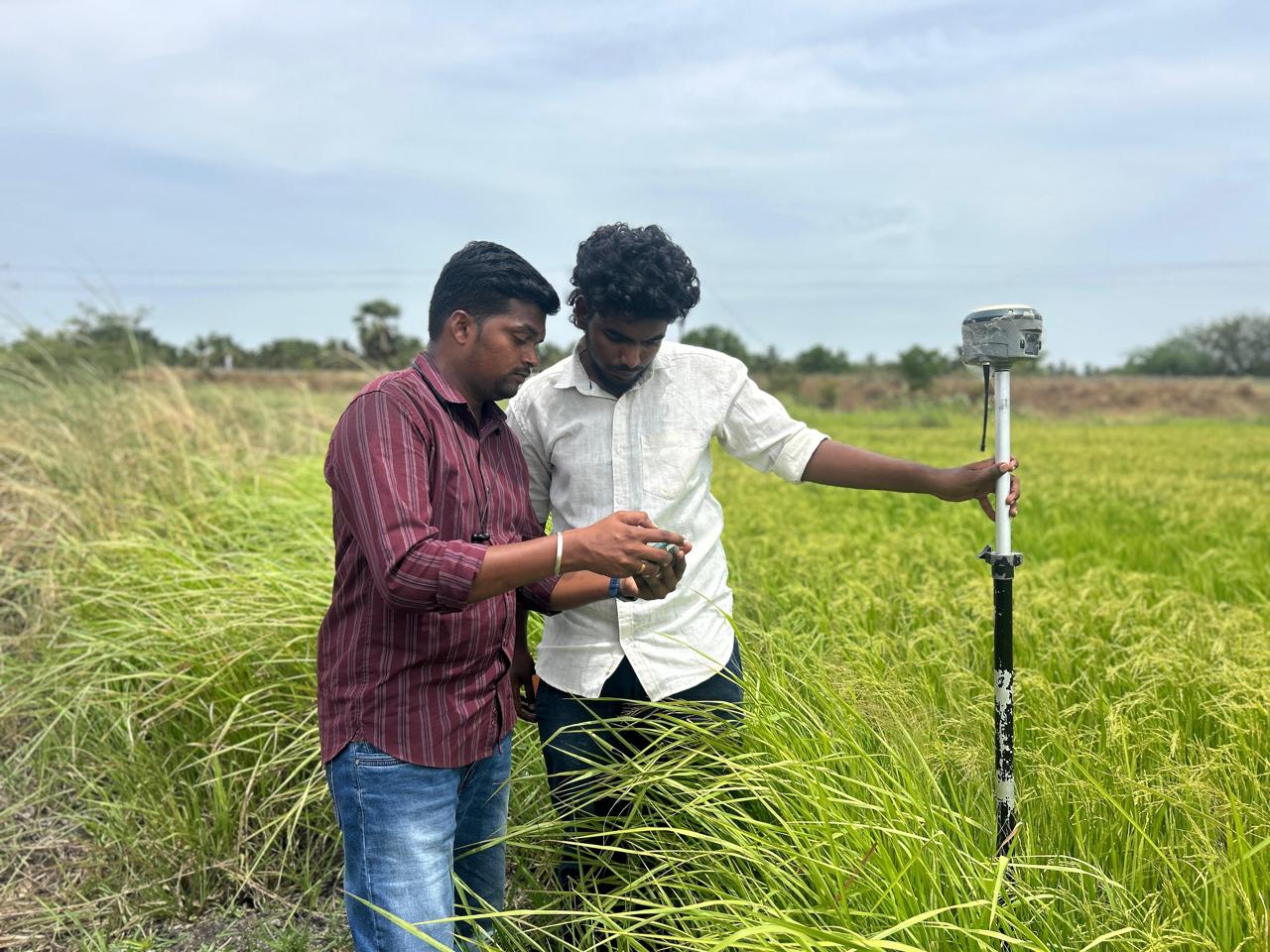
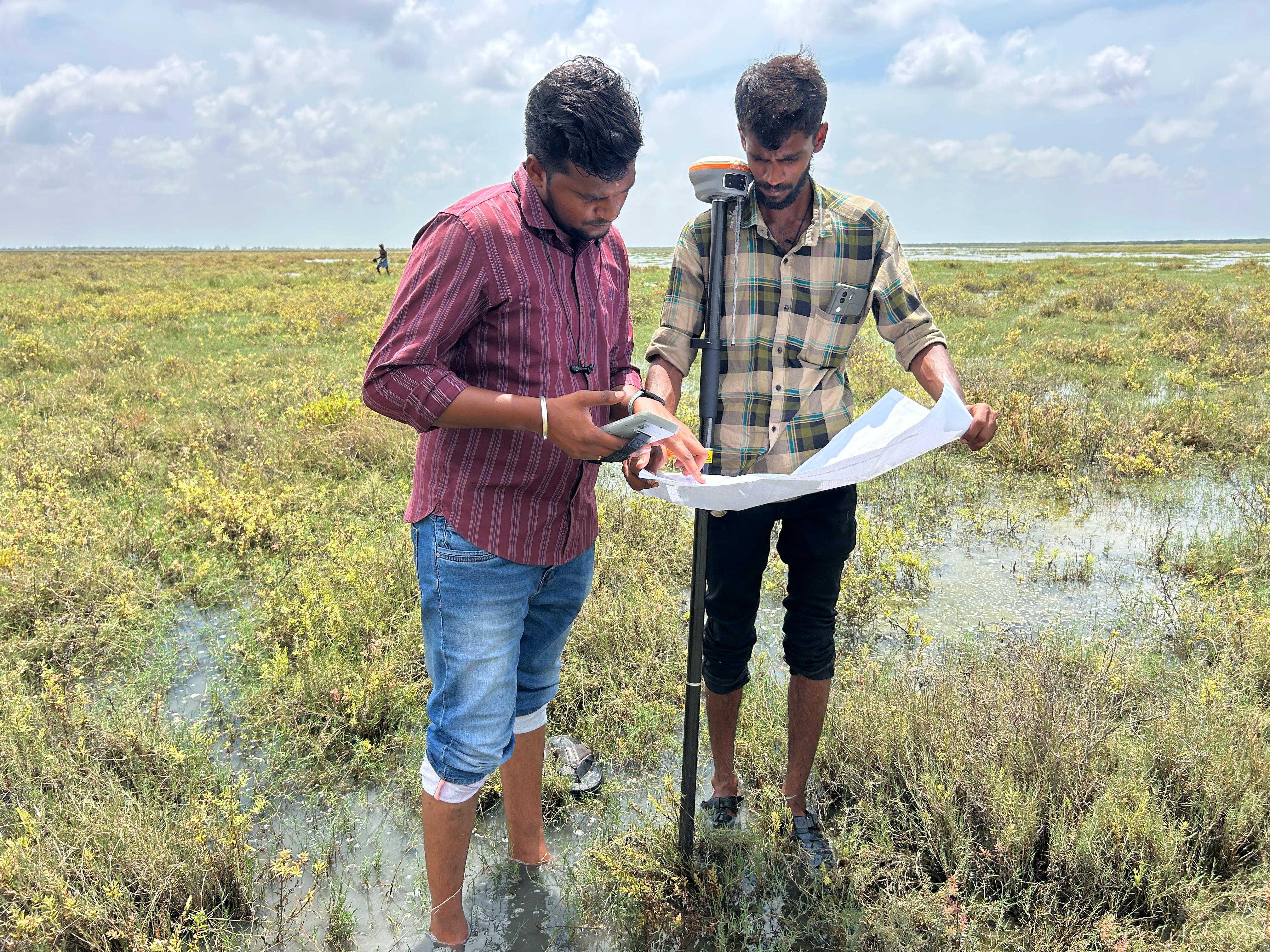
Toposurvey and FMB Sketch Boundary Marking Work at Site Thiruvarur Dt mannarkudi

Toposurvey and FMB Sketch Boundary Marking Work at Site Thiruvarur Dt mannarkudiToposurvey and FMB Sketch Boundary Marking Work at Site Thiruvarur Dt mannarkudiToposurvey and FMB Sketch Boundary Marking Work at Site Thiruvarur Dt mannarkudi
06
FIELD PROJECT

Society of GEO Informatics Engineers Institue Of Remote Sensing Anna University, Guindy,Chennai.

Society of GEO Informatics Engineers Institue Of Remote Sensing Anna University, Guindy,Chennai.Society of GEO Informatics Engineers Institue Of Remote Sensing Anna University, Guindy,Chennai.Society of GEO Informatics Engineers Institue Of Remote Sensing Anna University, Guindy,Chennai.
07
FIELD PROJECT

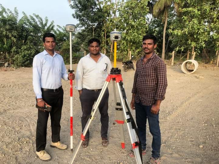
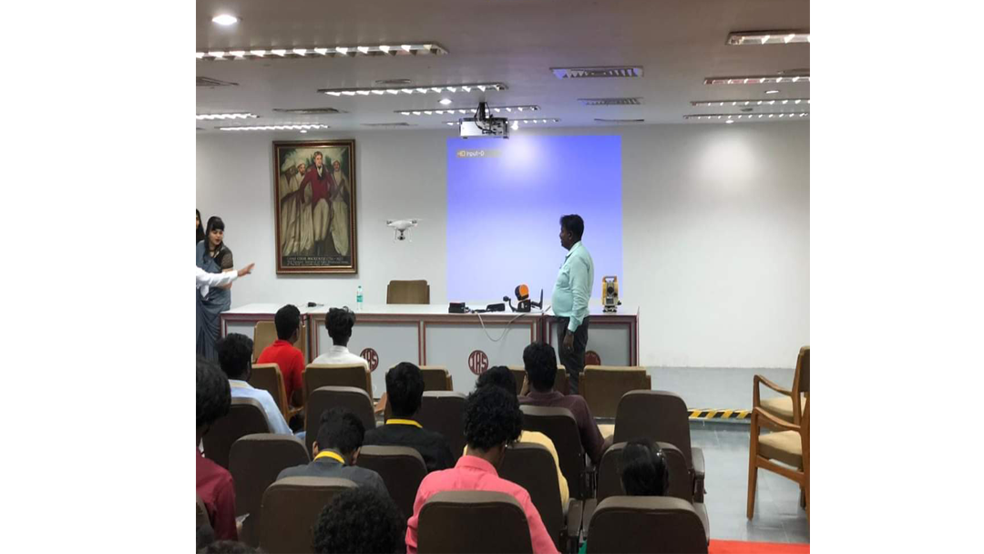
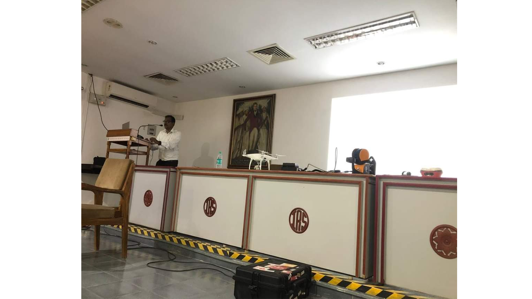
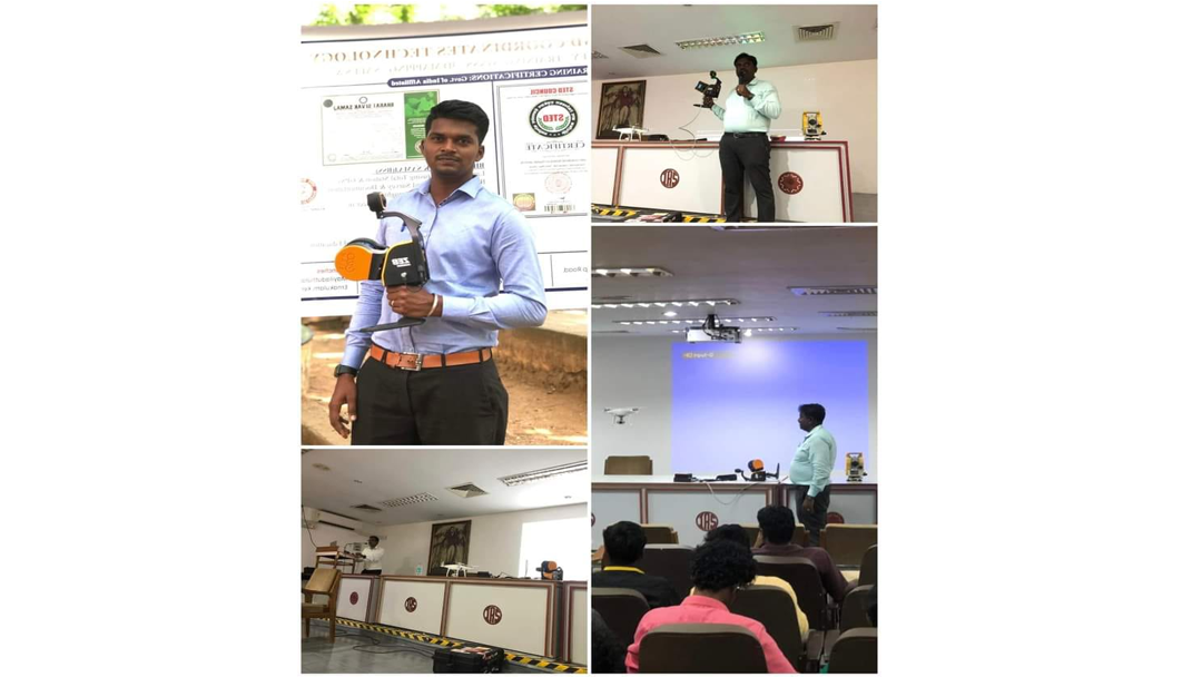
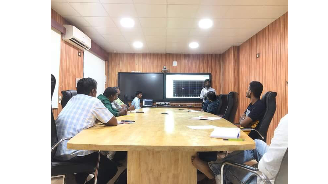
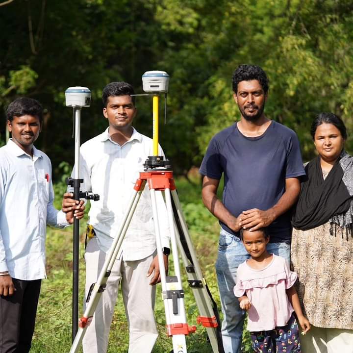
Internship Program For BE College Student Traing On Advanced Survering Total Station & Dgps

Internship Program For BE College Student Traing On Advanced Survering Total Station & DgpsInternship Program For BE College Student Traing On Advanced Survering Total Station & DgpsInternship Program For BE College Student Traing On Advanced Survering Total Station & Dgps
08
FIELD PROJECT

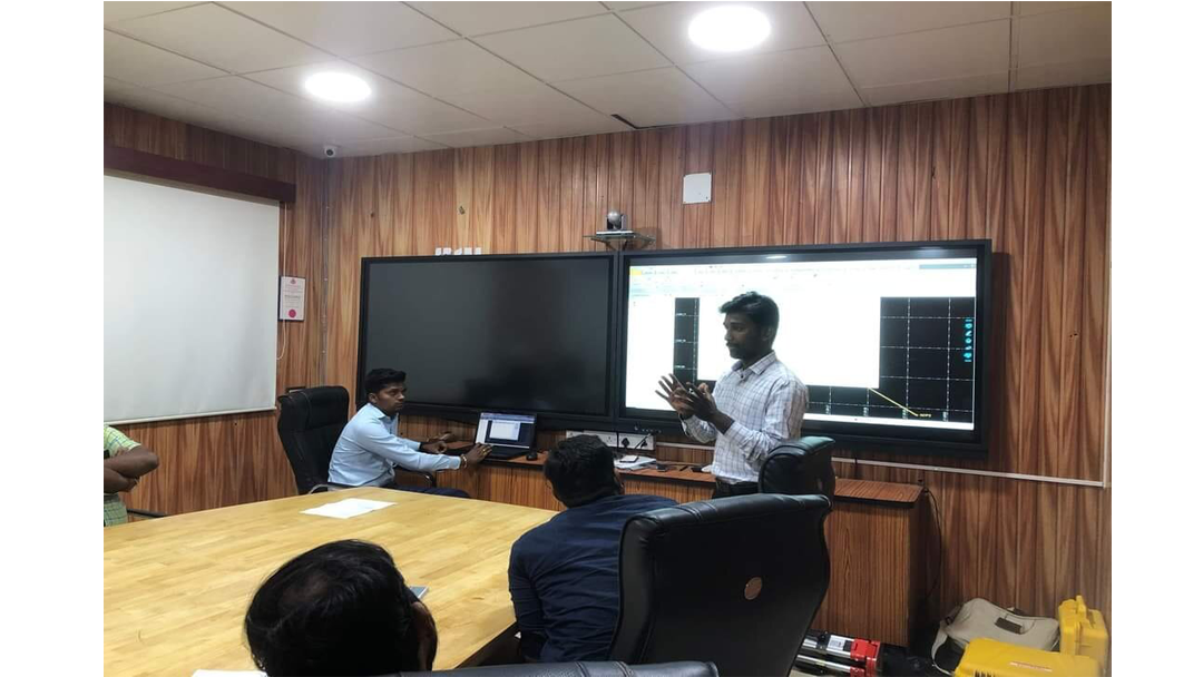
MSME Technology Development Center Traning Program on Differential Global Position System CIFT Campus,Guindy,Chennai

MSME Technology Development Center Traning Program on Differential Global Position System CIFT Campus,Guindy,ChennaiMSME Technology Development Center Traning Program on Differential Global Position System CIFT Campus,Guindy,ChennaiMSME Technology Development Center Traning Program on Differential Global Position System CIFT Campus,Guindy,Chennai
09
FIELD PROJECT

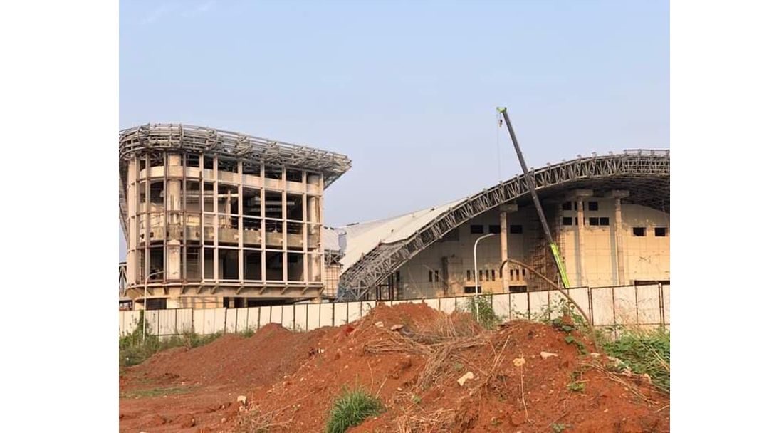
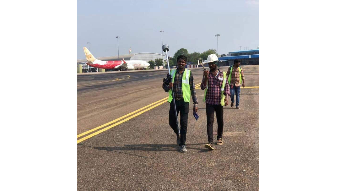
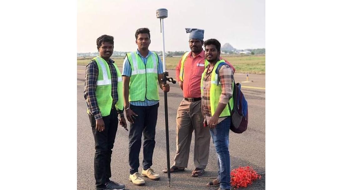
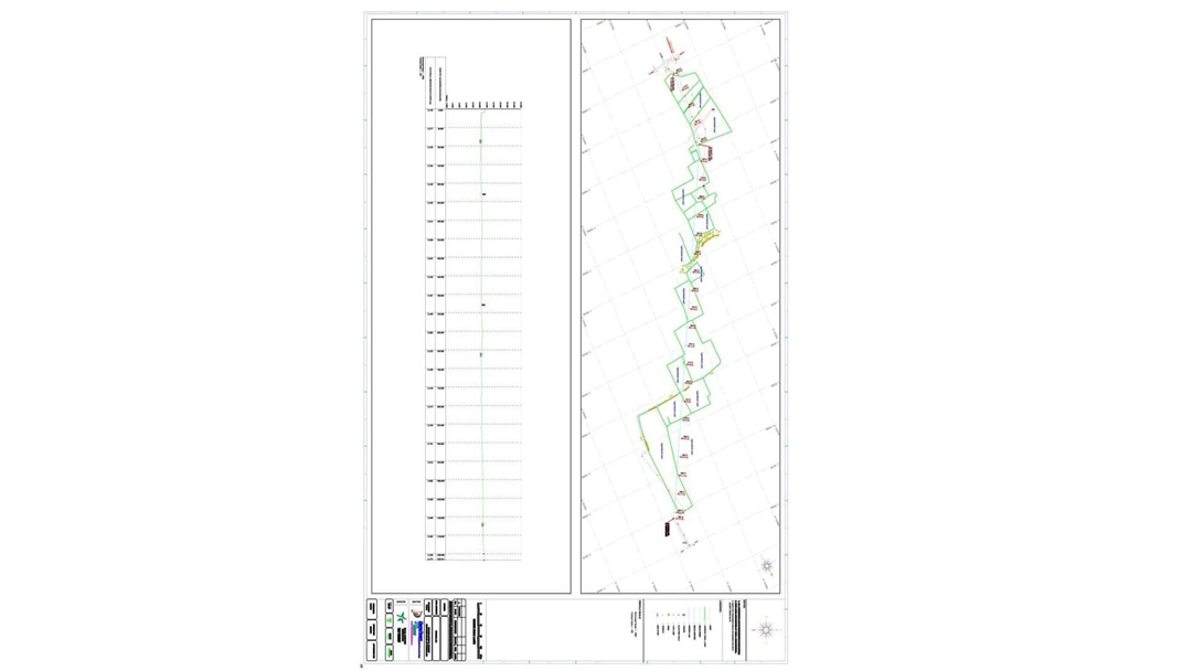
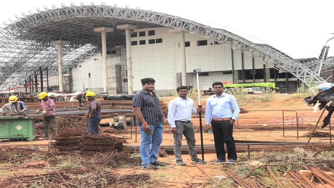
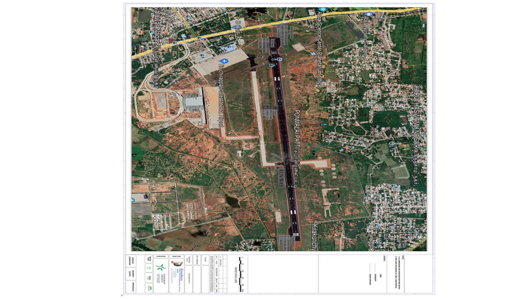
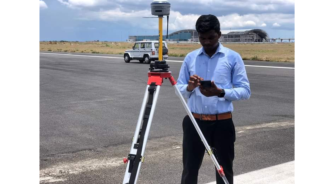
Trichy International Airpot Runway Center Line & New ATC Tower Every 50m Interval Making Work

Trichy International Airpot Runway Center Line & New ATC Tower Every 50m Interval Making WorkTrichy International Airpot Runway Center Line & New ATC Tower Every 50m Interval Making WorkTrichy International Airpot Runway Center Line & New ATC Tower Every 50m Interval Making Work
10
FIELD PROJECT

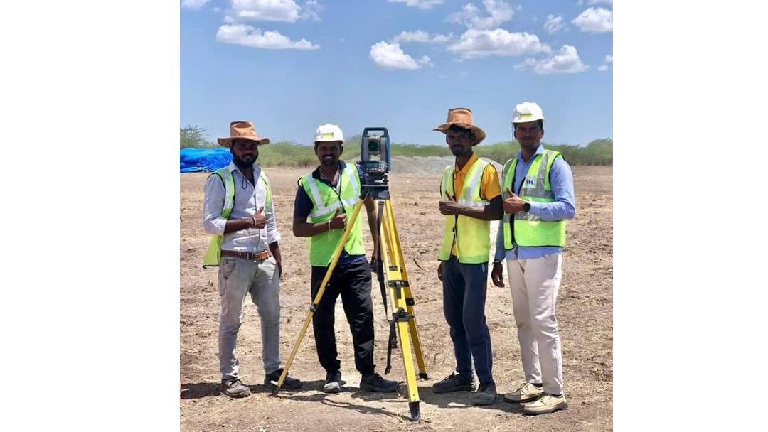
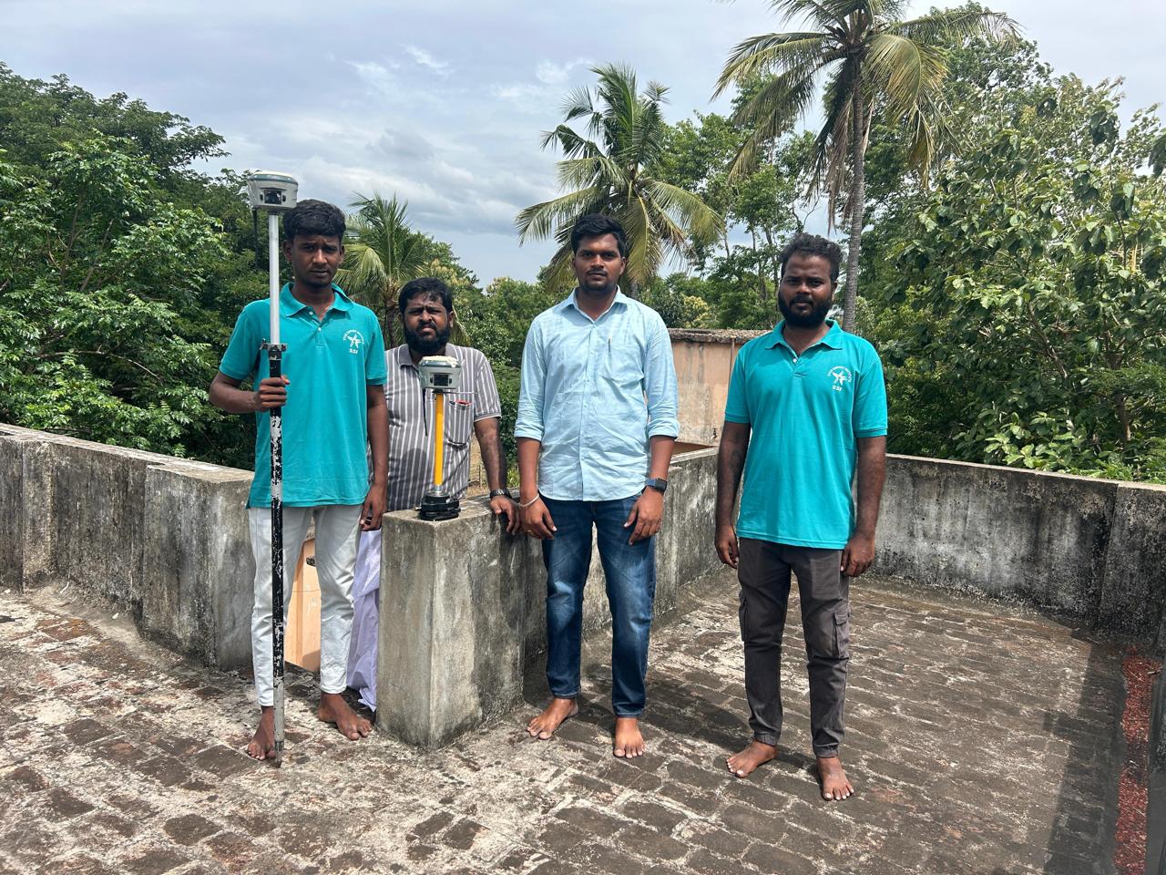
Thoothukudi Dt Vilathikulam Solar Project Reference Points Marking

Thoothukudi Dt Vilathikulam Solar Project Reference Points MarkingThoothukudi Dt Vilathikulam Solar Project Reference Points Marking
11
FIELD PROJECT

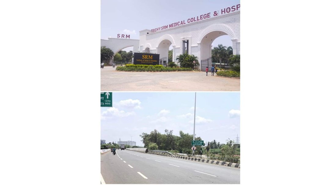
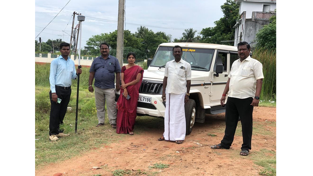
Tirchy Upparu TWAD to SRM University Pipe Line Survey

Tirchy Upparu TWAD to SRM University Pipe Line SurveyTirchy Upparu TWAD to SRM University Pipe Line Survey
12
FIELD PROJECT

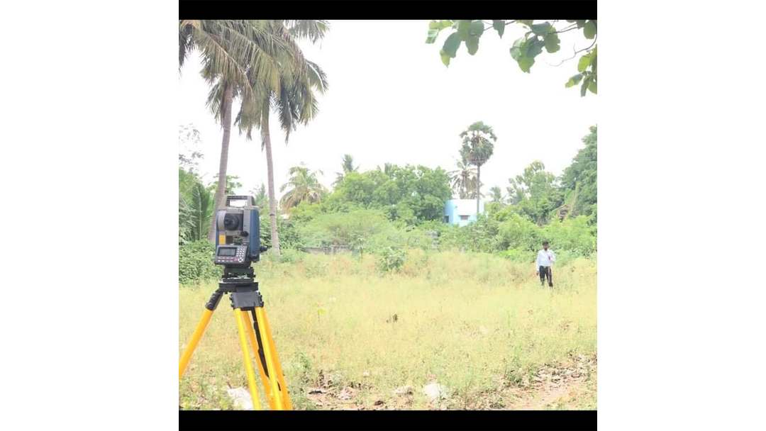
Topography Survey Work Going at Site Kumbakonam

Topography Survey Work Going at Site KumbakonamTopography Survey Work Going at Site KumbakonamTopography Survey Work Going at Site Kumbakonam
13
FIELD PROJECT

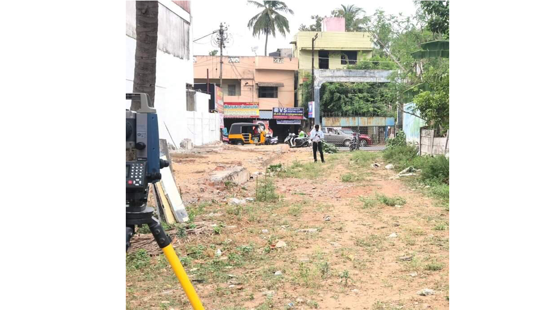
Topography Survey Marking Work Going at Site Kumbakonam

Topography Survey Marking Work Going at Site KumbakonamTopography Survey Marking Work Going at Site KumbakonamTopography Survey Marking Work Going at Site Kumbakonam
14
FIELD PROJECT

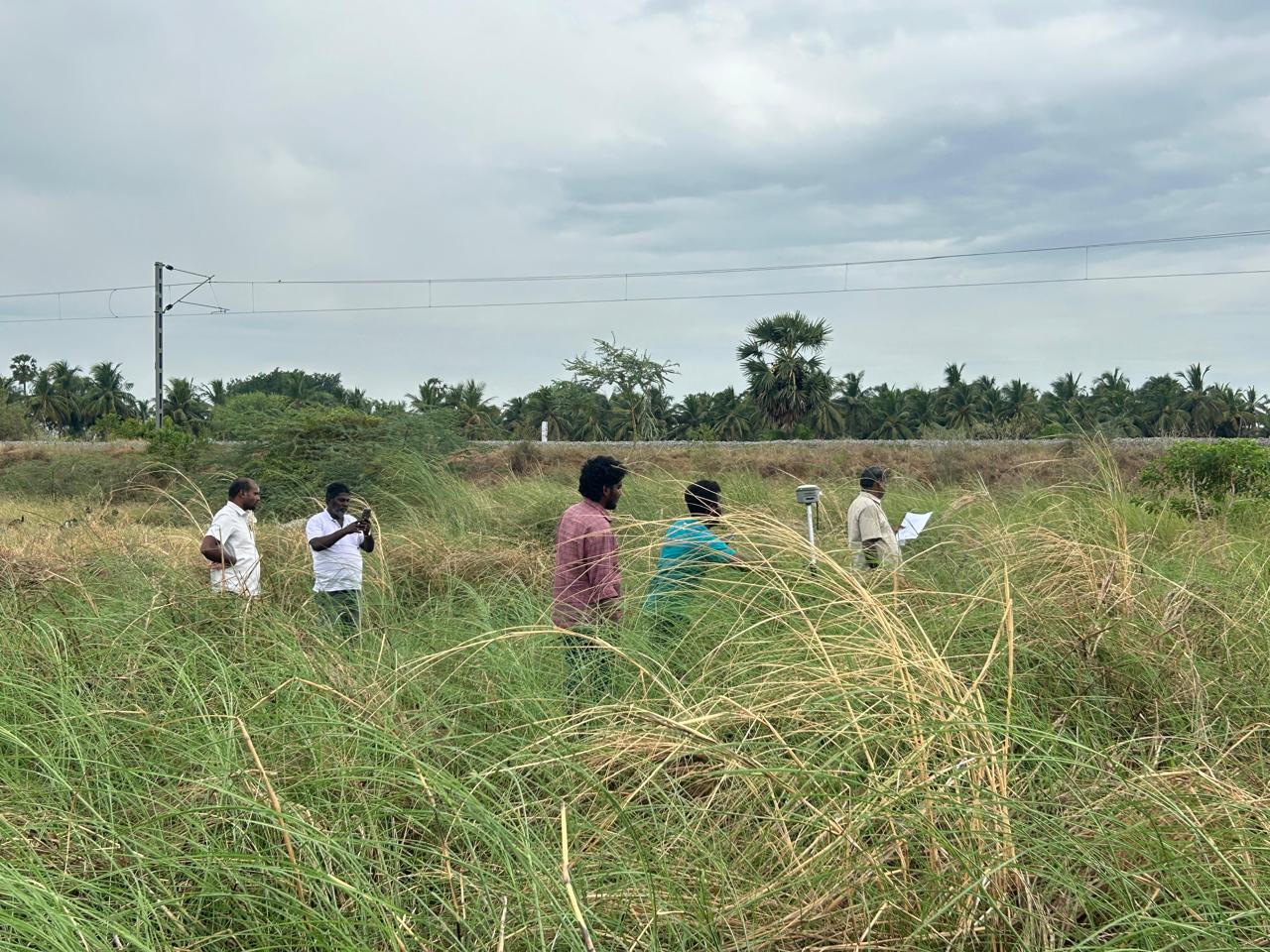
Toposurvey Survey Work Going at site mayiladuthurai Dt Kuttalam Scope of Work Proposed Road Survey

Toposurvey Survey Work Going at site mayiladuthurai Dt Kuttalam Scope of Work Proposed Road SurveyToposurvey Survey Work Going at site mayiladuthurai Dt Kuttalam Scope of Work Proposed Road SurveyToposurvey Survey Work Going at site mayiladuthurai Dt Kuttalam Scope of Work Proposed Road Survey
15
FIELD PROJECT

Trichy International Airport Runway Center Line Checking & New ATC Tower Boundary Fixing Work

Trichy International Airport Runway Center Line Checking & New ATC Tower Boundary Fixing WorkTrichy International Airport Runway Center Line Checking & New ATC Tower Boundary Fixing WorkTrichy International Airport Runway Center Line Checking & New ATC Tower Boundary Fixing Work
16
FIELD PROJECT

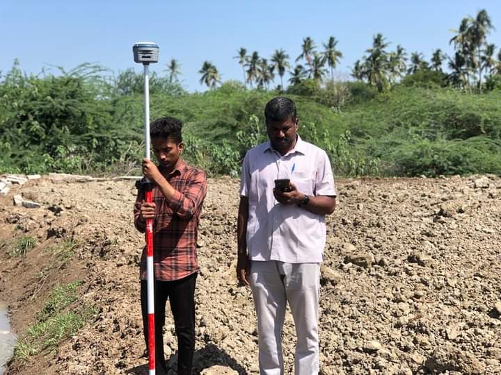
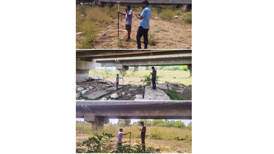
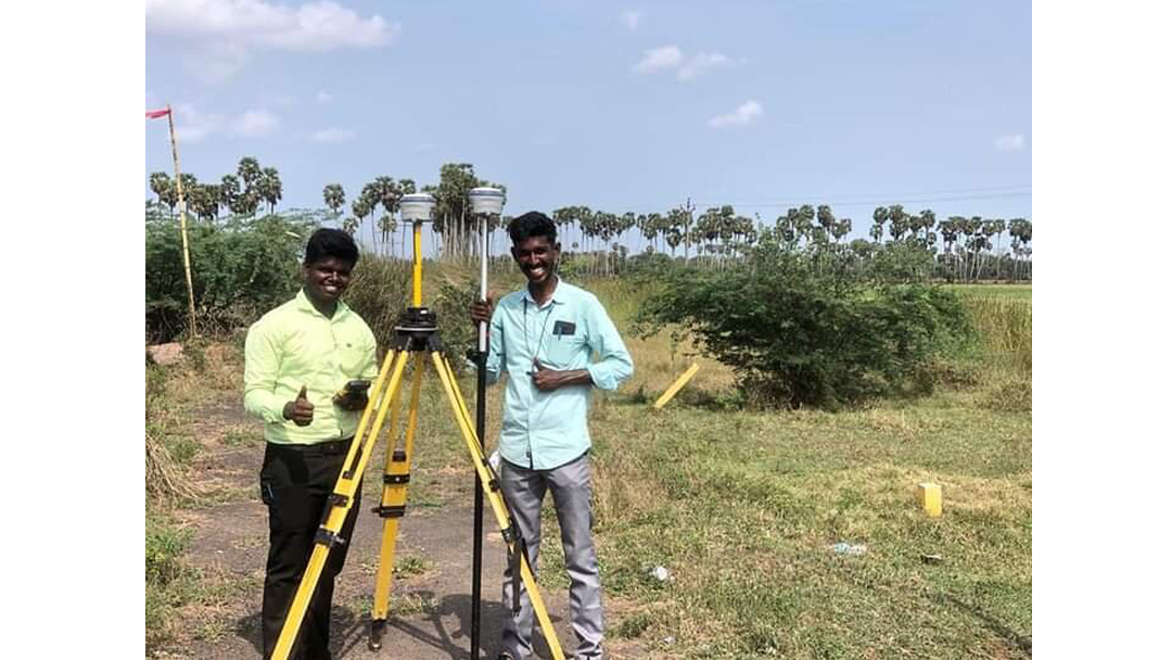
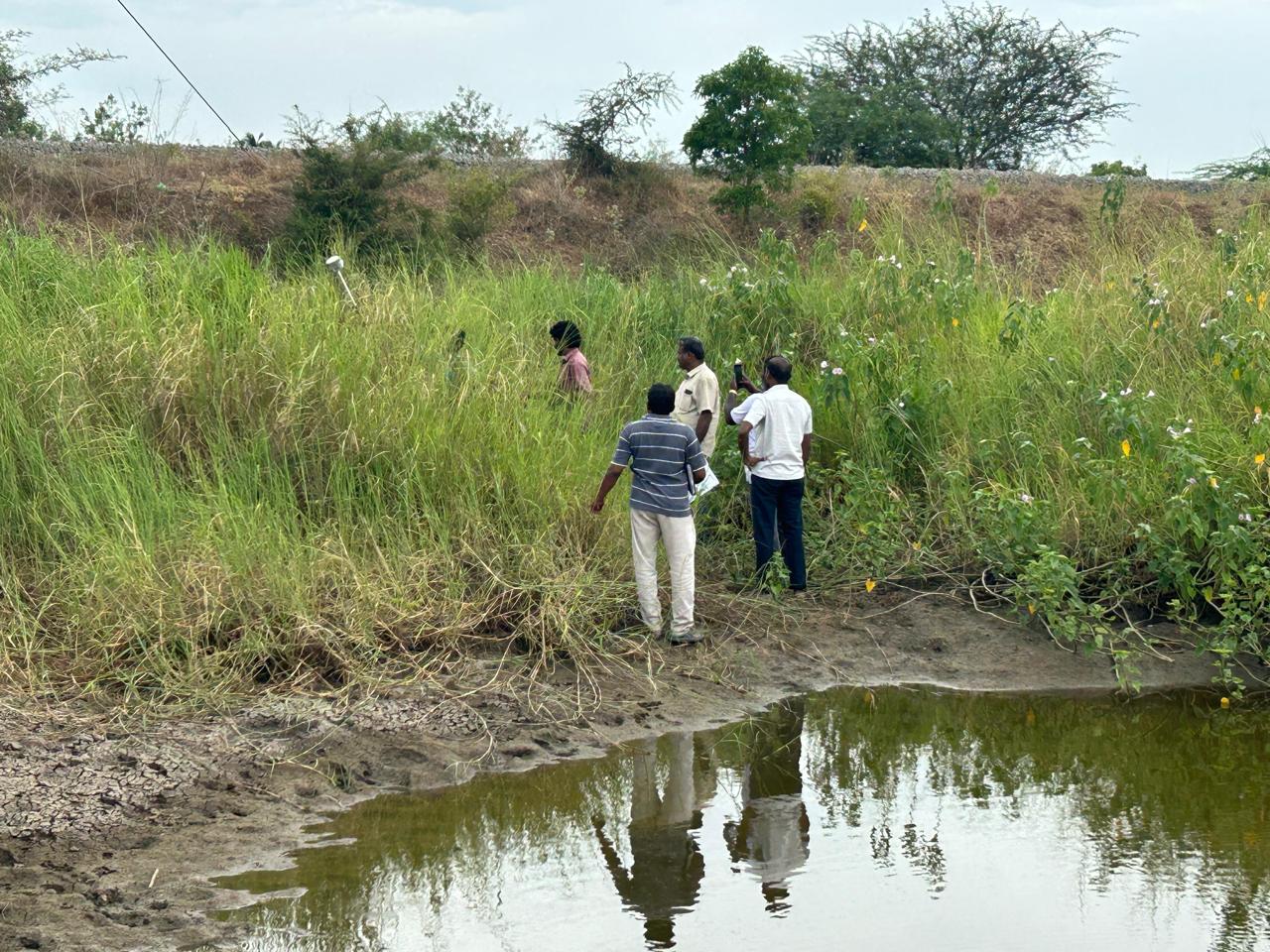
mayiladuthurai Dt Kuttalam Proposed Drainage Dgps Survey Work

mayiladuthurai Dt Kuttalam Proposed Drainage Dgps Survey Workmayiladuthurai Dt Kuttalam Proposed Drainage Dgps Survey Workmayiladuthurai Dt Kuttalam Proposed Drainage Dgps Survey Work
17
FIELD PROJECT

Topography Survey & Tree Counting Work Going at Site Palani Puthu aayakudi

Topography Survey & Tree Counting Work Going at Site Palani Puthu aayakudiTopography Survey & Tree Counting Work Going at Site Palani Puthu aayakudiTopography Survey & Tree Counting Work Going at Site Palani Puthu aayakudi
18
FIELD PROJECT

FMB Boundary Fixing work going at site at Poundagirepuram Kumbakonam

FMB Boundary Fixing work going at site at Poundagirepuram KumbakonamFMB Boundary Fixing work going at site at Poundagirepuram KumbakonamFMB Boundary Fixing work going at site at Poundagirepuram Kumbakonam
19
FIELD PROJECT

PWD WRD TANK FMB BOUNDRY FIXING WORK AT MUNNURMANGALAM@THIRUVANNAMALAI

PWD WRD TANK FMB BOUNDRY FIXING WORK AT MUNNURMANGALAM@THIRUVANNAMALAIPWD WRD TANK FMB BOUNDRY FIXING WORK AT MUNNURMANGALAM@THIRUVANNAMALAI
20
FIELD PROJECT

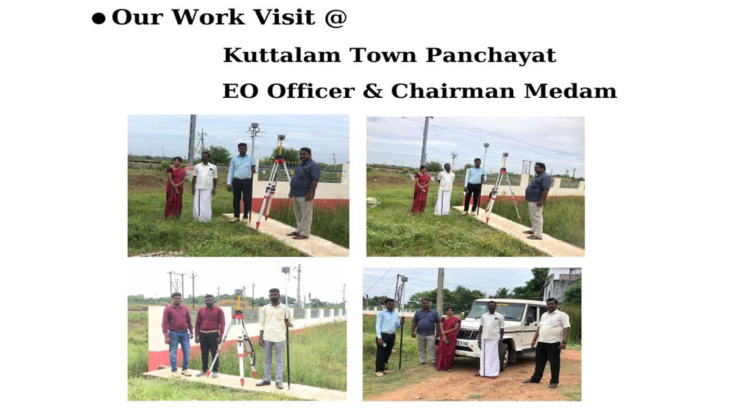
Topography & FMB Boundary Fixing work at Koradacheri Thiruvarur District.
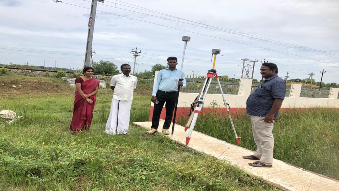
Topography & FMB Boundary Fixing work at Koradacheri Thiruvarur District.Topography & FMB Boundary Fixing work at Koradacheri Thiruvarur District.Topography & FMB Boundary Fixing work at Koradacheri Thiruvarur District.Topography & FMB Boundary Fixing work at Koradacheri Thiruvarur District.Topography & FMB Boundary Fixing work at Koradacheri Thiruvarur District.Topography & FMB Boundary Fixing work at Koradacheri Thiruvarur District.
21
FIELD PROJECT

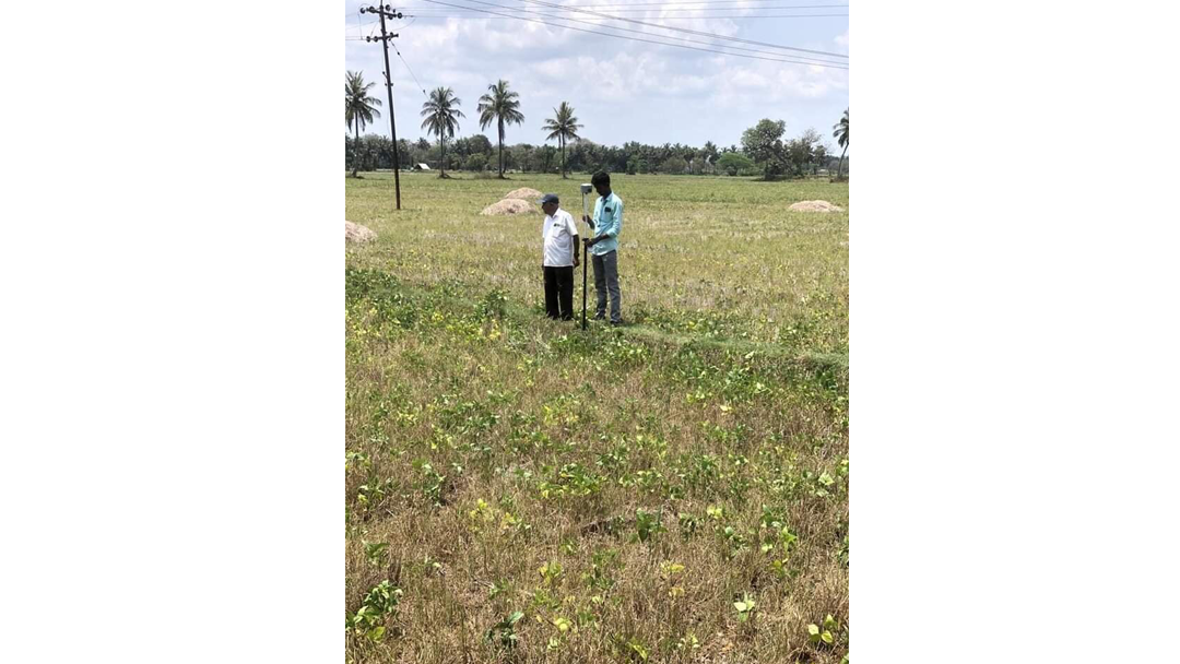
DGPS Fmb Boundry Fixing work At Sakkudi at Madurai District

DGPS Fmb Boundry Fixing work At Sakkudi at Madurai DistrictDGPS Fmb Boundry Fixing work At Sakkudi at Madurai DistrictDGPS Fmb Boundry Fixing work At Sakkudi at Madurai District
22
FIELD PROJECT

FMB Survey Work at Voimedu Nagapattinam.

FMB Survey Work at Voimedu Nagapattinam.FMB Survey Work at Voimedu Nagapattinam.FMB Survey Work at Voimedu Nagapattinam.FMB Survey Work at Voimedu Nagapattinam.FMB Survey Work at Voimedu Nagapattinam.
Capabilities

We are Specialist In

Surveying and field services represented in the original project page.

01

Topographical Survey

A topographical survey, often simply referred to as a "topo survey," is a detailed mapping and surveying technique used to measure and represent the physical features of a piece of land or an area.

02

Contour Survey

A contour survey is a specialized type of surveying method used to determine the elevation and shape of the terrain of a piece of land.

03

Plan Layout On Ground

Planning a layout on the ground involves the process of determining and marking the physical placement of various elements, such as buildings, roads, utilities, and other structures, on a specific piece of land.

04

Column Marking

Column marking is a crucial step in construction and involves physically indicating the positions where columns or vertical supports will be installed in a building or structure.

05

Fmb Skecth

An FMB sketch, also known as a Field Measurement Book sketch, typically refers to a hand-drawn or digitally created sketch that is used to record measurements and details of a piece of land or a specific location.

06

Area Calculation

Area calculation is the process of determining the size or extent of a two-dimensional space or region. It is a fundamental concept in various fields, including mathematics, land surveying, construction, agriculture, geography, and more.

07

Solar Pile Marking

Solar pile marking is an essential step in the construction of solar energy projects, particularly solar farms or photovoltaic (PV) installations.

08

Hassle Free Returns

"Hassle-free returns" is a term used by businesses and retailers to describe a customer-friendly and streamlined process for returning products or merchandise.

Field Media

Project Videos

Video references embedded in the original page.

Start a Project

Need accurate surveying for your next site?

Connect with STAR SURVEY INSTITUTE for surveying, mapping, marking and training requirements.

Contact Us