



Advanced Surveying Technology
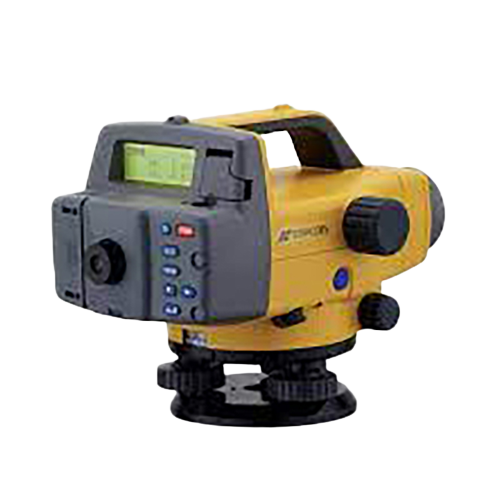
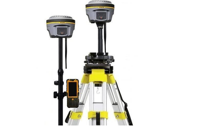
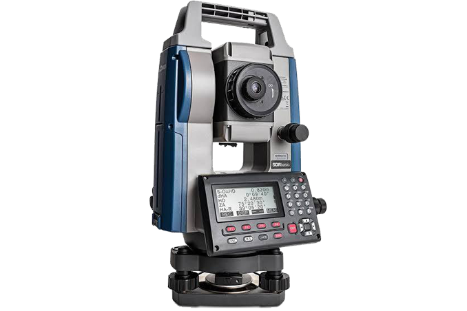
We use modern surveying instruments and geospatial technologies to collect precise field data.
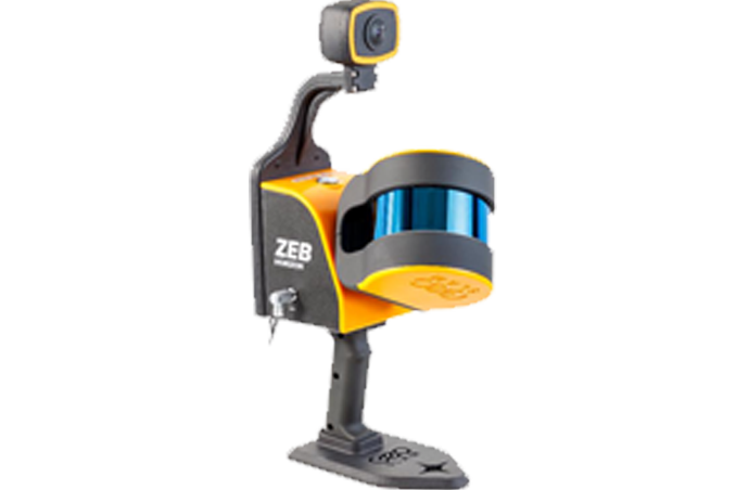
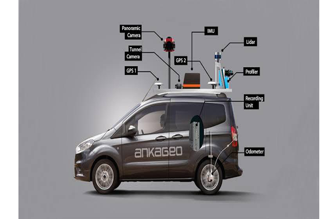
Our LiDAR scanning & 3D laser surveying generate accurate point-cloud data for mapping, modeling and engineering applications.
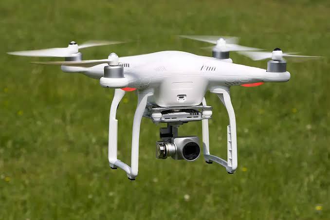
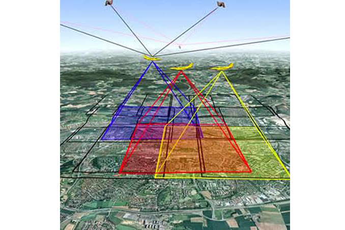
Our UAV & drone survey services enable fast aerial data acquisition over large areas with high-resolution imagery, orthomosaic maps and 3D terrain models.