
Map the world with Terrestrial LiDAR.
Unlocking Landscapes with Precision: Our Terrestrial LiDAR Survey offers unparalleled accuracy in capturing topographical data. From urban planning to environmental monitoring, our cutting-edge technology swiftly maps terrain, structures, and vegetation. Empowering Informed Decisions: Our LiDAR data fuels projects with rich insights, enhancing efficiency and reducing risks. Elevate your spatial understanding with our comprehensive Terrestrial LiDAR Survey.

Our Courses
Explore the complete original course catalogue covering digital level, drone, DGPS, terrestrial lidar, Geo Slam, photogrammetry, mobile lidar and total station survey.
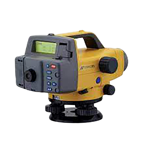
Digital Level Survey
Explore course ↗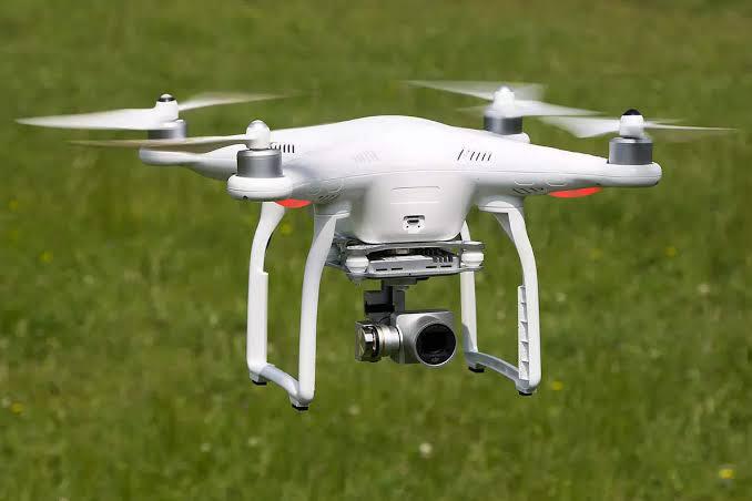
Drone Survey
Explore course ↗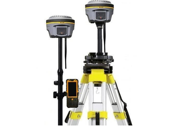
Dgps Survey
Explore course ↗
Terrestrial Lidar Survey
Explore course ↗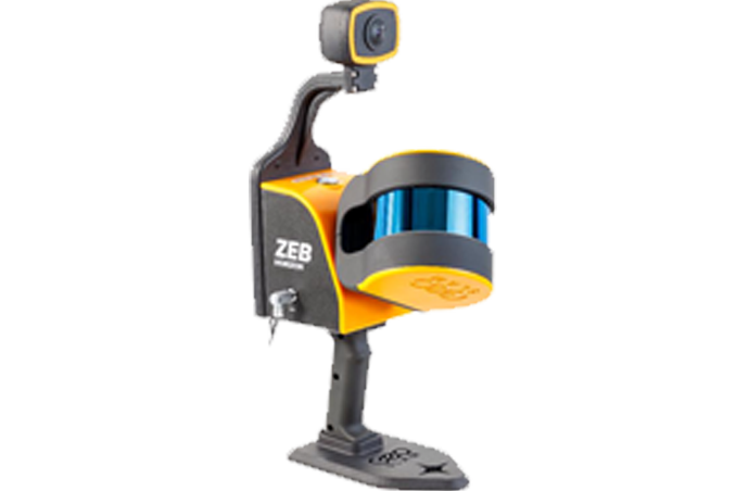
Geo Slam Survey
Explore course ↗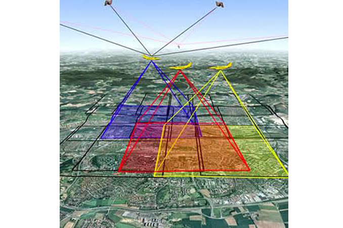
Photogrammerty Survey
Explore course ↗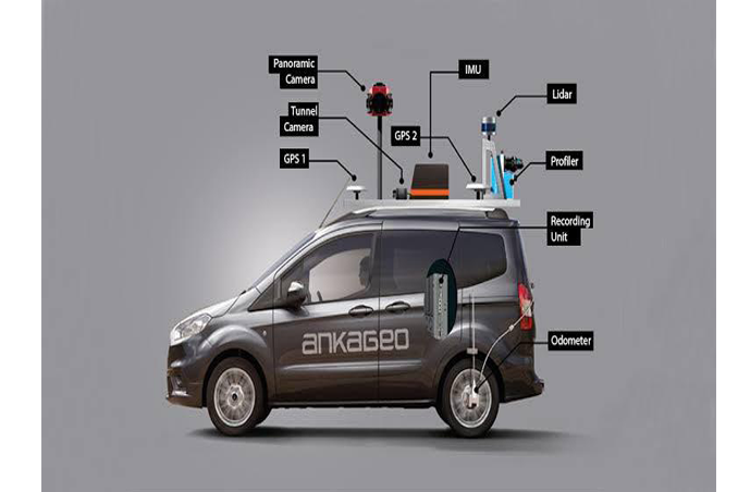
Mobile Lidar Survey
Explore course ↗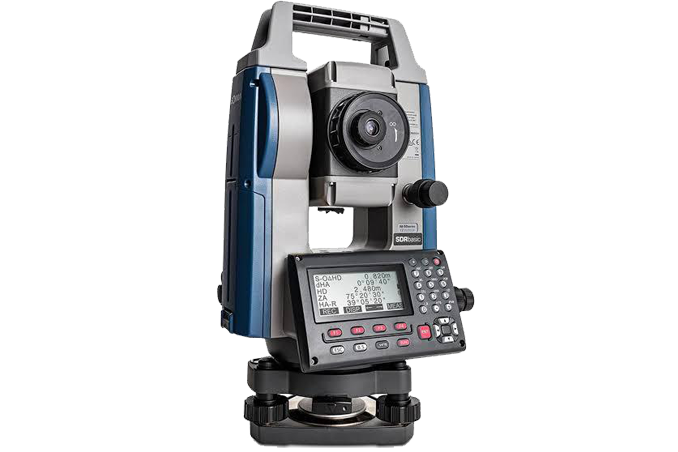
Total Station Survey
Explore course ↗Precision mapping for informed decisions.
Unlocking Landscapes with Precision: Our Terrestrial LiDAR Survey offers unparalleled accuracy in capturing topographical data. From urban planning to environmental monitoring, our cutting-edge technology swiftly maps terrain, structures, and vegetation. Empowering Informed Decisions: Our LiDAR data fuels projects with rich insights, enhancing efficiency and reducing risks. Elevate your spatial understanding with our comprehensive Terrestrial LiDAR Survey.
Capture terrain, structures and vegetation with rich spatial data.
The original content highlights applications ranging from urban planning to environmental monitoring, using cutting-edge LiDAR technology to rapidly map terrain, structures and vegetation while enhancing efficiency and reducing risks.
Ready to explore modern surveying?
Connect with STAR SURVEY INSTITUTE for course information and training enquiries.