
Master modern surveying.
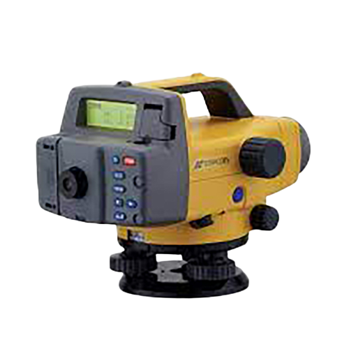
digital level survey :Conducting precise digital level surveys to capture accurate elevation data. Utilizing advanced electronic instruments for height measurement. Ensuring minimal error with modern leveling technology. Enhancing construction and infrastructure projects with reliable vertical measurements. Embracing digital advancements for efficient and dependable survey outcomes.
Our Courses
Explore the complete original course catalogue, from Digital Level and Drone Survey to Lidar, Photogrammetry and Total Station Survey.
Digital Level Survey
Explore course ↗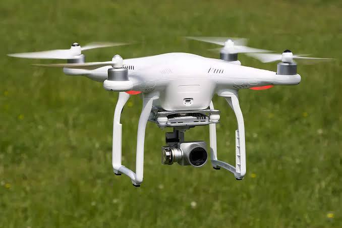
Drone Survey
Explore course ↗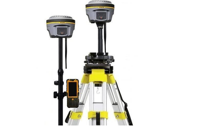
Dgps Survey
Explore course ↗
Terrestrial Lidar Survey
Explore course ↗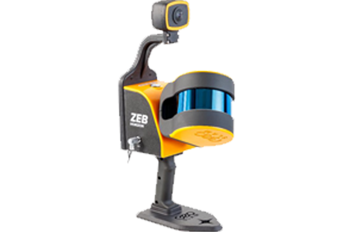
Geo Slam Survey
Explore course ↗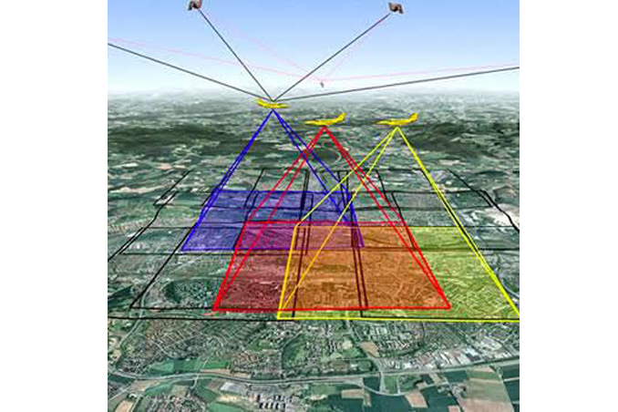
Photogrammerty Survey
Explore course ↗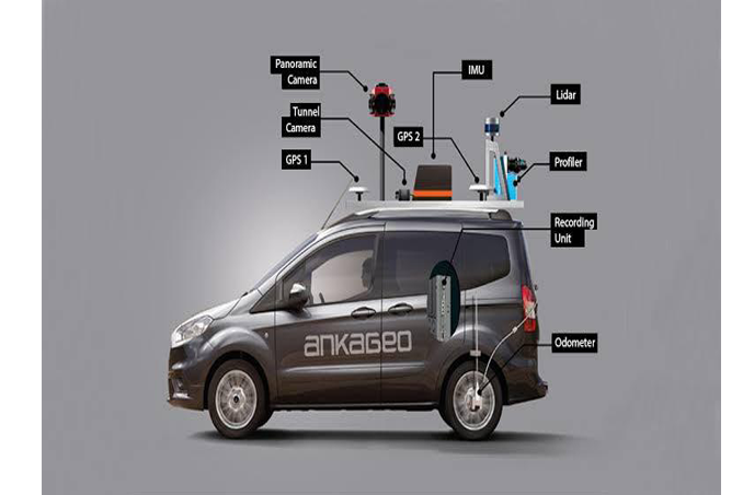
Mobile Lidar Survey
Explore course ↗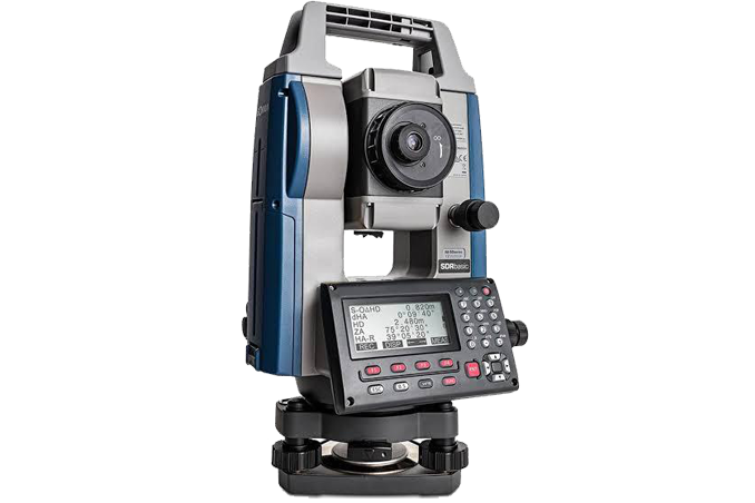
Total Station Survey
Explore course ↗Precision starts with accurate elevation.
digital level survey :Conducting precise digital level surveys to capture accurate elevation data. Utilizing advanced electronic instruments for height measurement. Ensuring minimal error with modern leveling technology. Enhancing construction and infrastructure projects with reliable vertical measurements. Embracing digital advancements for efficient and dependable survey outcomes.
Learn the technologies used in modern surveying.
Our course list brings together digital leveling, drone survey, DGPS, terrestrial and mobile lidar, Geo Slam, photogrammetry and total station survey. Select a course above to open its dedicated page.
Ready to build your surveying skills?
Connect with STAR SURVEY INSTITUTE for course information and training enquiries.