
Explore the power of Drone Survey.
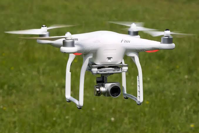
Unmanned Aerial Vehicles (UAVs), also known as drones, have become increasingly popular for surveying applications in various fields such as agriculture, construction, environmental monitoring, and land surveying. UAV surveys offer many advantages over traditional surveying methods, including faster data collection, increased accuracy, and reduced cost. UAVs are equipped with sensors such as cameras, LiDAR, and GPS, which can capture high-resolution images, 3D models, and precise location data. This allows for efficient and accurate mapping of areas that may be difficult or dangerous to access by traditional methods.
Our Courses
Explore the complete course catalogue covering digital leveling, drone survey, DGPS, terrestrial and mobile lidar, Geo Slam, photogrammetry and total station survey.
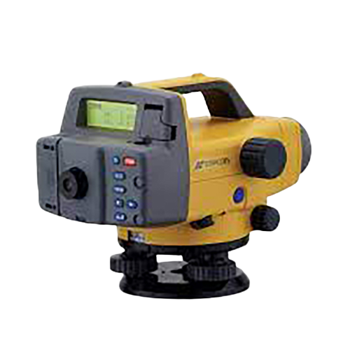
Digital Level Survey
Explore course ↗
Drone Survey
Explore course ↗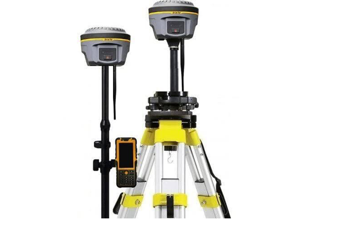
Dgps Survey
Explore course ↗
Terrestrial Lidar Survey
Explore course ↗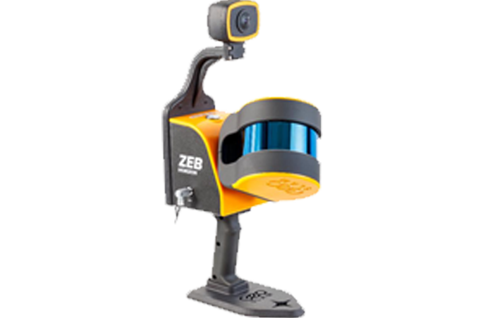
Geo Slam Survey
Explore course ↗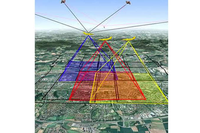
Photogrammerty Survey
Explore course ↗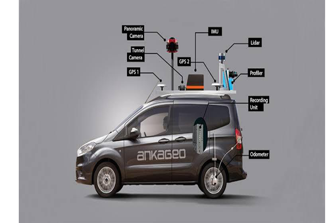
Mobile Lidar Survey
Explore course ↗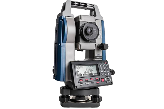
Total Station Survey
Explore course ↗Fast, accurate aerial data collection.
Unmanned Aerial Vehicles (UAVs), also known as drones, have become increasingly popular for surveying applications in various fields such as agriculture, construction, environmental monitoring, and land surveying. UAV surveys offer many advantages over traditional surveying methods, including faster data collection, increased accuracy, and reduced cost. UAVs are equipped with sensors such as cameras, LiDAR, and GPS, which can capture high-resolution images, 3D models, and precise location data. This allows for efficient and accurate mapping of areas that may be difficult or dangerous to access by traditional methods.
Capture high-resolution survey data from the air.
The original page highlights UAVs equipped with cameras, LiDAR and GPS for high-resolution images, 3D models and precise location data, supporting efficient mapping of difficult or dangerous areas.
Ready to learn modern surveying?
Connect with STAR SURVEY INSTITUTE for course information and training enquiries.